Kereru Area, Kereru Postcode(4120) & Map in Kereru
Kereru Area, Kereru Postcode(4120) & Map in Kereru, Hastings District, New Zealand
Kereru, Hastings District, New Zealand
Kereru Postcodes
Kereru Area (estimated)
159.6 square kilometersKereru Population (estimated)
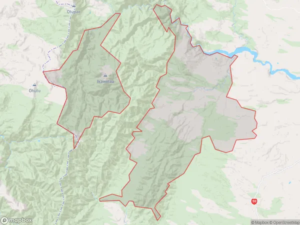
166 people live in Kereru, Hawke's Bay, NZKereru Suburb Area Map (Polygon)
Kereru Introduction
Kereru is a small rural town in Hastings, Hawke's Bay, New Zealand. It is known for its beautiful natural surroundings, including the Kereru Forest and the Kereru Stream. The town has a population of around 500 people and is located about 30 minutes from Hastings city. It is a popular destination for outdoor enthusiasts, with many hiking and cycling trails nearby.Region
Major City
Suburb Name
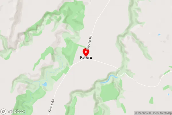
KereruKereru Area Map (Street)
Local Authority
Hastings DistrictFull Address
Kereru, Hastings District, New ZealandAddress Type
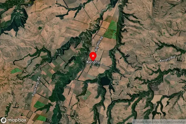
Locality in City HastingsKereru Suburb Map (Satellite)
Country
Main Region in AU
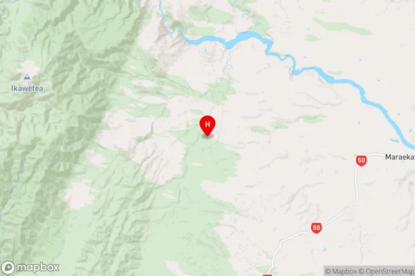
Hawke's BayKereru Region Map
Coordinates
-39.6358193,176.4222765 (latitude/longitude)Distances
The distance from Kereru, Hastings, Hastings District to NZ Top 10 Cities