Linton Area, Linton Postcode(4820) & Map in Linton
Linton Area, Linton Postcode(4820) & Map in Linton, Palmerston North City, New Zealand
Linton, Palmerston North City, New Zealand
Linton Postcodes
Linton Area (estimated)
123.4 square kilometersLinton Population (estimated)
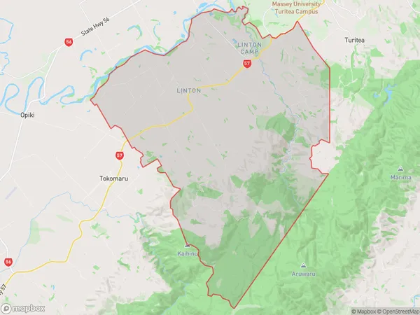
2864 people live in Linton, Palmerston North, NZLinton Suburb Area Map (Polygon)
Linton Introduction
Linton is a small rural town located in the Manawatu-Wanganui region of New Zealand. It is known for its beautiful countryside, historic buildings, and friendly community. The town has a population of around 1,000 people and is surrounded by farmland and forests. Linton is located about 30 minutes from Palmerston North and 2 hours from Wellington, the capital city of New Zealand.Region
Major City
Suburb Name
LintonOther Name(s)
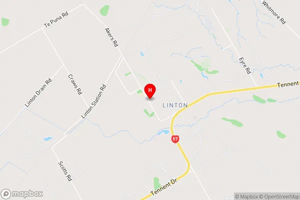
Linton Military CampLinton Area Map (Street)
Local Authority
Palmerston North CityFull Address
Linton, Palmerston North City, New ZealandAddress Type
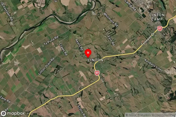
Suburb in City Palmerston NorthLinton Suburb Map (Satellite)
Country
Main Region in AU
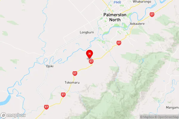
Manawatu-WanganuiLinton Region Map
Coordinates
-40.4305668,175.552844 (latitude/longitude)Distances
The distance from Linton, Palmerston North, Palmerston North City to NZ Top 10 Cities