Mangawhio Area, Mangawhio Postcode(4592) & Map in Mangawhio
Mangawhio Area, Mangawhio Postcode(4592) & Map in Mangawhio, South Taranaki District,
Mangawhio, South Taranaki District,
Mangawhio Postcodes
Mangawhio Area (estimated)
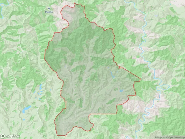
123.3 square kilometersMangawhio Population (estimated)
19 people live in Mangawhio, Waverley, NZMangawhio Suburb Area Map (Polygon)
Mangawhio Introduction
Mangawhio is a small rural community located in the Waverley district of Taranaki, New Zealand. It is known for its stunning natural scenery, including the Mangawhio Gorge and the surrounding mountain ranges. The community has a population of around 1,000 people and is home to a variety of businesses and services, including a primary school, a post office, and a convenience store.Region
Major City
Suburb Name
MangawhioOther Name(s)
WaikareMangawhio Area Map (Street)
Local Authority
South Taranaki DistrictFull Address
Mangawhio, South Taranaki District,Address Type
Locality in Town WaverleyMangawhio Suburb Map (Satellite)
Country
Main Region in AU
TaranakiMangawhio Region Map
Coordinates
0,0 (latitude/longitude)Distances
The distance from Mangawhio, Waverley, South Taranaki District to NZ Top 10 Cities