Parawera Area, Parawera Postcode(3879) & Map in Parawera, Otorohanga District
Parawera Area, Parawera Postcode(3879) & Map in Parawera, Otorohanga District, Waipa District, New Zealand
Parawera, Otorohanga District, Waipa District, New Zealand
Parawera Postcodes
Parawera Area (estimated)
140.2 square kilometersParawera Population (estimated)
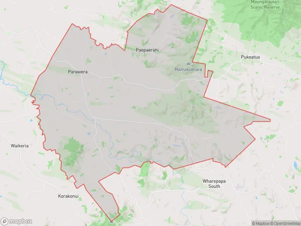
569 people live in Parawera, Waikato, NZParawera Suburb Area Map (Polygon)
Parawera Introduction
Parawera is a small town in the Waikato region of New Zealand. It is known for its natural hot springs and geysers, which attract visitors from around the world. The town also has a historic coal-mining industry and a beautiful lake, which is popular for fishing and boating.Region
0Suburb Name
ParaweraOther Name(s)
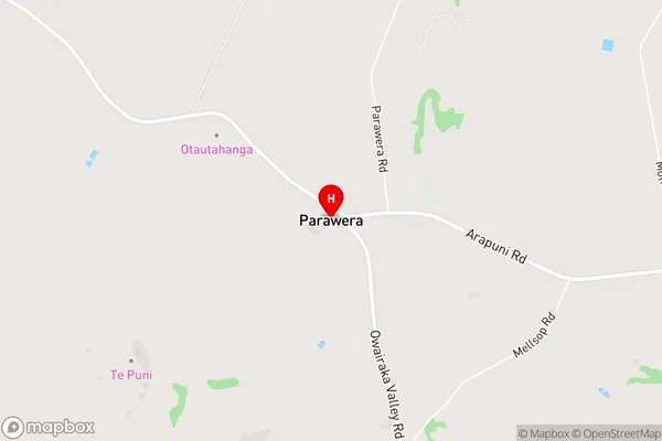
Owairaka Valley, PaepaerahiParawera Area Map (Street)
Local Authority
Otorohanga District, Waipa District (Maori Name: Ōtorohanga District, Waipa District)Full Address
Parawera, Otorohanga District, Waipa District, New ZealandAddress Type
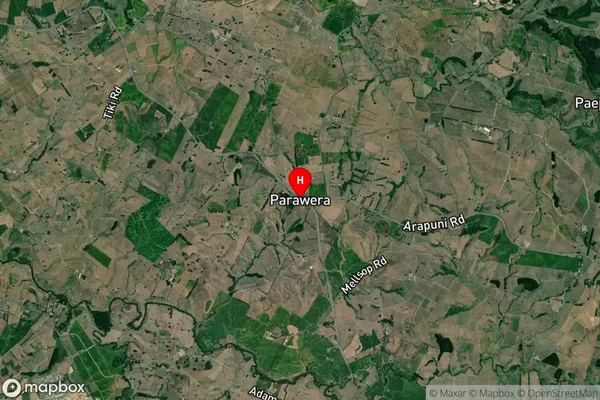
Locality in Major Locality ParaweraParawera Suburb Map (Satellite)
Country
Main Region in AU
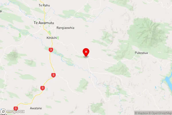
WaikatoParawera Region Map
Coordinates
-38.0743115,175.4269838 (latitude/longitude)Distances
The distance from Parawera, Parawera, Otorohanga District, Waipa District to NZ Top 10 Cities