Pencarrow Head Area, Pencarrow Head Postcode(5042) & Map in Pencarrow Head
Pencarrow Head Area, Pencarrow Head Postcode(5042) & Map in Pencarrow Head, Lower Hutt City, New Zealand
Pencarrow Head, Lower Hutt City, New Zealand
Pencarrow Head Postcodes
Pencarrow Head Area (estimated)
25.2 square kilometersPencarrow Head Population (estimated)
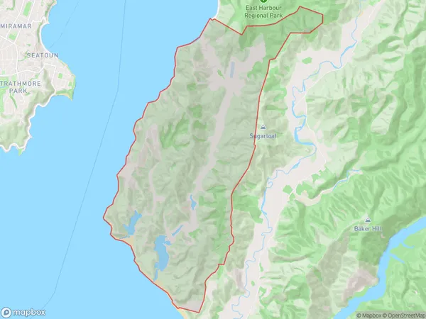
2 people live in Pencarrow Head, Wellington, NZPencarrow Head Suburb Area Map (Polygon)
Pencarrow Head Introduction
Pencarrow Head is a prominent headland located at the southern entrance to Wellington Harbor, New Zealand. It is a popular spot for outdoor activities such as walking, hiking, and picnicking, offering stunning views of the harbor, city skyline, and surrounding countryside. The headland is also home to a significant bird sanctuary, with a diverse range of bird species nesting and feeding in the area.Region
Major City
Suburb Name
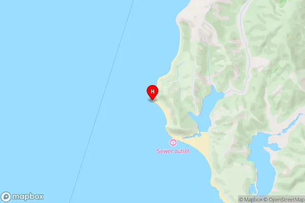
Pencarrow HeadPencarrow Head Area Map (Street)
Local Authority
Lower Hutt CityFull Address
Pencarrow Head, Lower Hutt City, New ZealandAddress Type
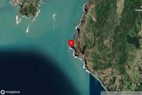
Suburb in City Lower HuttPencarrow Head Suburb Map (Satellite)
Country
Main Region in AU
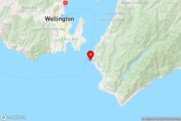
WellingtonPencarrow Head Region Map
Coordinates
-41.3598731,174.8479843 (latitude/longitude)Distances
The distance from Pencarrow Head, Lower Hutt, Lower Hutt City to NZ Top 10 Cities