Casebrook Area, Casebrook Postcode(8051) & Map in Casebrook
Casebrook Area, Casebrook Postcode(8051) & Map in Casebrook, Christchurch City, New Zealand
Casebrook, Christchurch City, New Zealand
Casebrook Area (estimated)
4.1 square kilometersCasebrook Population (estimated)
5562 people live in Casebrook, Christchurch, NZCasebrook Suburb Area Map (Polygon)
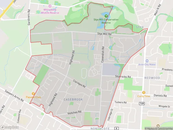
Casebrook Introduction
Casebrook is a suburb of Christchurch, New Zealand, located in the eastern suburbs of the city. It is known for its well-preserved 19th-century architecture and its peaceful atmosphere. The suburb is home to a variety of shops, restaurants, and recreational facilities, including the Casebrook Reserve and the Casebrook Pool. It is also well-connected to the city center, with easy access to public transportation.Region
Major City
Suburb Name
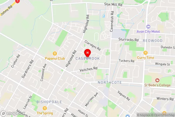
CasebrookCasebrook Area Map (Street)
Local Authority
Christchurch CityFull Address
Casebrook, Christchurch City, New ZealandAddress Type
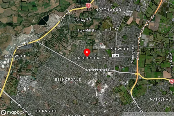
Suburb in City ChristchurchCasebrook Suburb Map (Satellite)
Country
Main Region in AU
CanterburyCasebrook Region Map

Coordinates
-43.4791675,172.5999587 (latitude/longitude)Distances
The distance from Casebrook, Christchurch, Christchurch City to NZ Top 10 Cities