Renwick Area, Renwick Postcode(7204) & Map in Renwick
Renwick Area, Renwick Postcode(7204) & Map in Renwick, Marlborough District, New Zealand
Renwick, Marlborough District, New Zealand
Renwick Area (estimated)
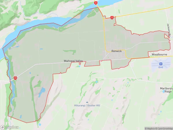
57.2 square kilometersRenwick Population (estimated)
3049 people live in Renwick, Marlborough, NZRenwick Suburb Area Map (Polygon)
Renwick Introduction
Renwick is a small rural town in Marlborough, New Zealand, known for its picturesque rural scenery, friendly community, and popular wine-growing region. It is located on the banks of the Renwick River and is home to around 1,200 people. The town has a historic church, a primary school, a post office, and a variety of shops and cafes. The surrounding area is popular for outdoor activities such as hiking, cycling, and fishing, and the town is also a gateway to the Marlborough Sounds.Region
Major City
Suburb Name
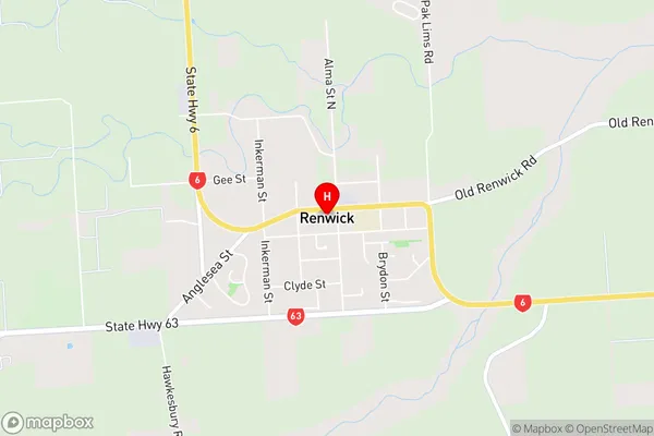
RenwickRenwick Area Map (Street)
Local Authority
Marlborough DistrictFull Address
Renwick, Marlborough District, New ZealandAddress Type
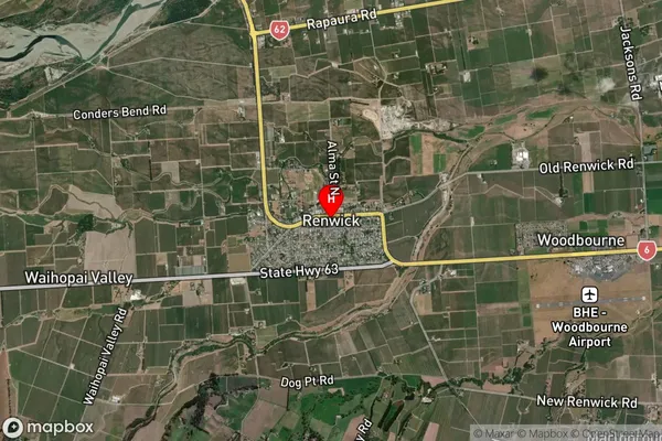
Suburb in Town RenwickRenwick Suburb Map (Satellite)
Country
Main Region in AU
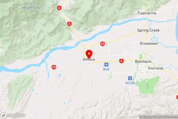
MarlboroughRenwick Region Map
Coordinates
-41.5083122,173.8290095 (latitude/longitude)Distances
The distance from Renwick, Renwick, Marlborough District to NZ Top 10 Cities