Rotorua Area, Rotorua Postcode(3045) & Map in Rotorua
Rotorua Area, Rotorua Postcode(3045) & Map in Rotorua, Rotorua District, New Zealand
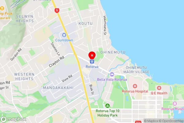
Rotorua, Rotorua District, New Zealand
Rotorua Area (estimated)
2.9 square kilometersRotorua Population (estimated)
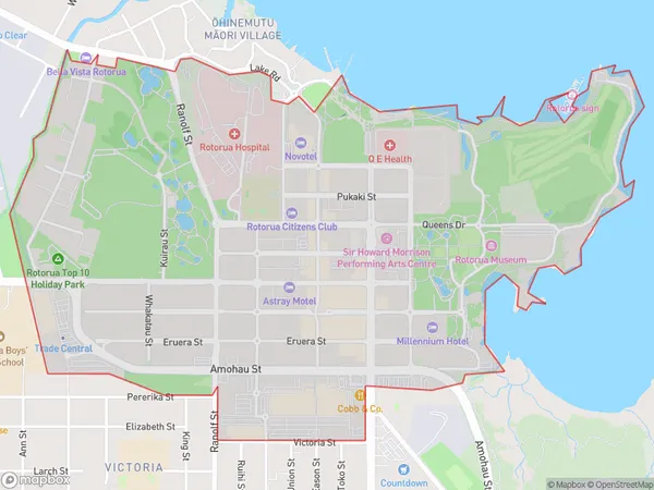
1358 people live in Rotorua, Rotorua, NZRotorua Suburb Area Map (Polygon)
Rotorua Introduction
Rotorua is a city in the Bay of Plenty region of New Zealand, renowned for its geothermal activity, including geysers, hot springs, and mud pools. It is also known for its Maori culture, with a strong emphasis on traditional arts and crafts. Visitors can explore the city's natural beauty, including the Whakarewarewa Forest, Lake Rotorua, and the Mount Tarawera Volcanic Complex.Region
Major City
Suburb Name
RotoruaOther Name(s)
Rotorua CentralRotorua Area Map (Street)
Local Authority
Rotorua DistrictFull Address
Rotorua, Rotorua District, New ZealandAddress Type
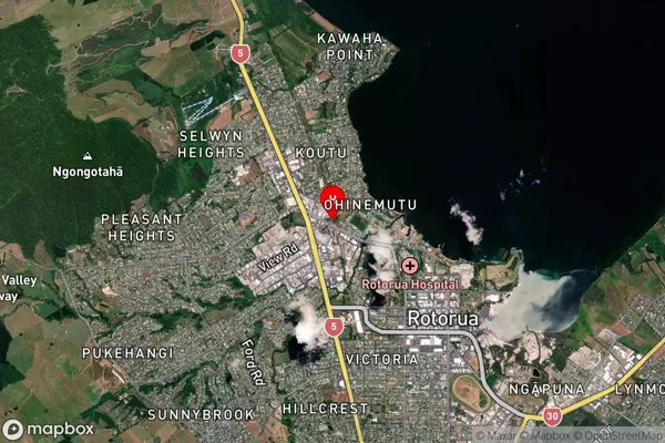
Suburb in City RotoruaRotorua Suburb Map (Satellite)
Country
Main Region in AU
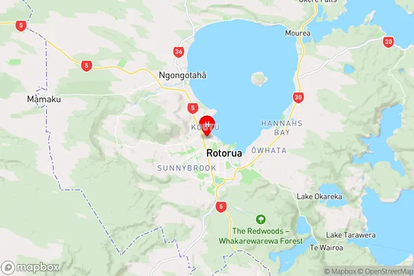
Bay of PlentyRotorua Region Map
Coordinates
-38.1263526,176.2358702 (latitude/longitude)Distances
The distance from Rotorua, Rotorua, Rotorua District to NZ Top 10 Cities