Saint Johns Hill Area, Saint Johns Hill Postcode(4500) & Map in Saint Johns Hill
Saint Johns Hill Area, Saint Johns Hill Postcode(4500) & Map in Saint Johns Hill, Whanganui District, New Zealand
Saint Johns Hill, Whanganui District, New Zealand
Saint Johns Hill Postcodes
Saint Johns Hill Area (estimated)
2.0 square kilometersSaint Johns Hill Population (estimated)
2126 people live in Saint Johns Hill, Whanganui, NZSaint Johns Hill Suburb Area Map (Polygon)
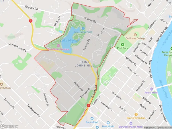
Saint Johns Hill Introduction
Saint Johns Hill is a suburb of Whanganui, New Zealand. It is located on the eastern side of the city, overlooking the Wanganui River. The suburb has a population of around 1,000 people and is known for its scenic views and historic homes. Saint Johns Hill is also home to a variety of businesses and recreational facilities, including a golf course and a sports club.Region
Major City
Suburb Name
Saint Johns HillOther Name(s)
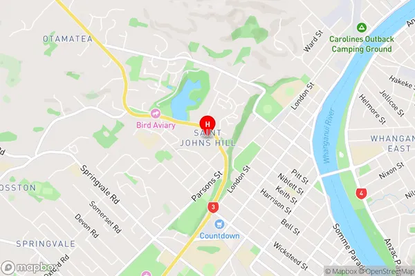
St Johns Hill, Wanganui CentralSaint Johns Hill Area Map (Street)
Local Authority
Whanganui DistrictFull Address
Saint Johns Hill, Whanganui District, New ZealandAddress Type
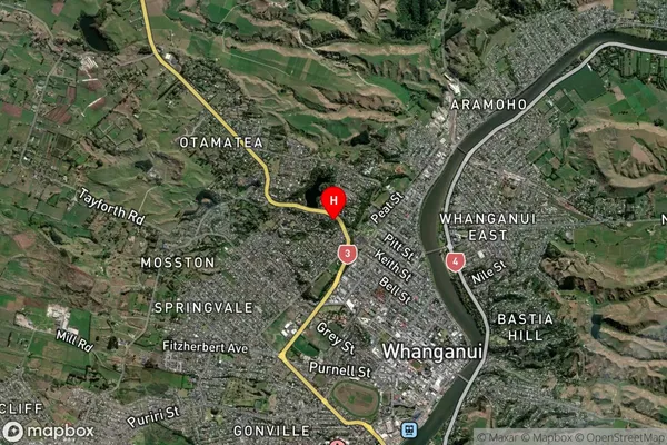
Suburb in Town WhanganuiSaint Johns Hill Suburb Map (Satellite)
Country
Main Region in AU
Manawatu-WanganuiSaint Johns Hill Region Map

Coordinates
-39.9172492,175.0366635 (latitude/longitude)Distances
The distance from Saint Johns Hill, Whanganui, Whanganui District to NZ Top 10 Cities