Te Kowhai Area, Te Kowhai Postcode(3288) & Map in Te Kowhai
Te Kowhai Area, Te Kowhai Postcode(3288) & Map in Te Kowhai, Waikato District, New Zealand
Te Kowhai, Waikato District, New Zealand
Te Kowhai Area (estimated)
33.7 square kilometersTe Kowhai Population (estimated)
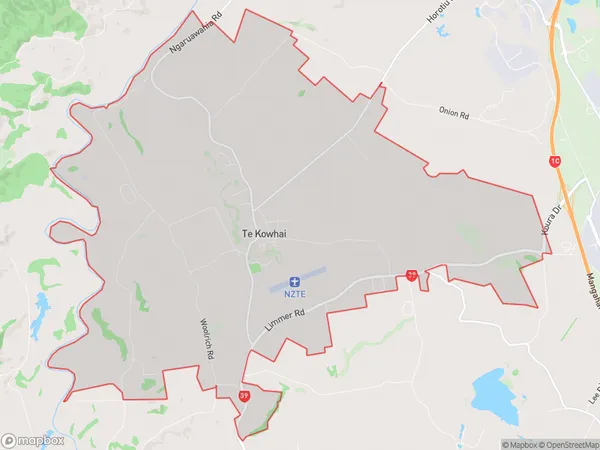
1936 people live in Te Kowhai, Waikato, NZTe Kowhai Suburb Area Map (Polygon)
Te Kowhai Introduction
Te Kowhai is a small rural community in Hamilton, Waikato, New Zealand. It is known for its beautiful natural surroundings, including the Te Kowhai Forest Park, a popular hiking and picnic spot. The community has a strong sense of community and hosts regular events and festivals, including the Te Kowhai Festival of Lights, which attracts visitors from around the region.Region
Major City
Suburb Name
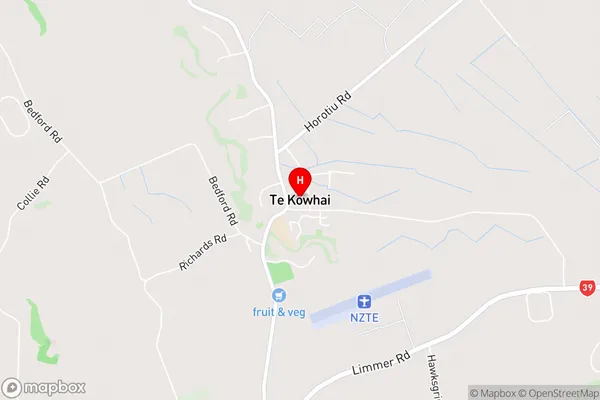
Te KowhaiTe Kowhai Area Map (Street)
Local Authority
Waikato DistrictFull Address
Te Kowhai, Waikato District, New ZealandAddress Type
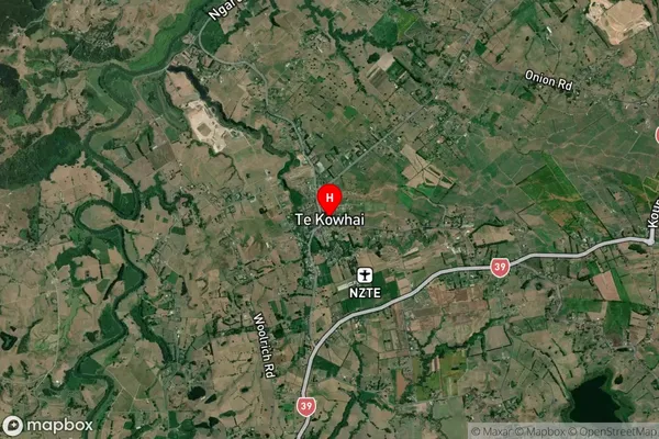
Locality in City HamiltonTe Kowhai Suburb Map (Satellite)
Country
Main Region in AU
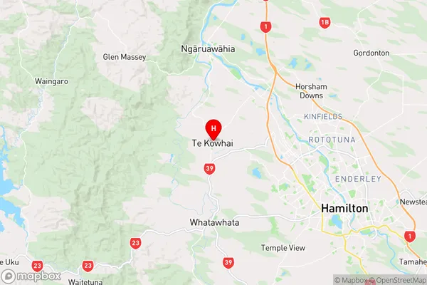
WaikatoTe Kowhai Region Map
Coordinates
-37.7377426,175.1553954 (latitude/longitude)Distances
The distance from Te Kowhai, Hamilton, Waikato District to NZ Top 10 Cities