Carterton Area, Carterton Postcode(5713) & Map in Carterton
Carterton Area, Carterton Postcode(5713) & Map in Carterton, Carterton District, New Zealand
Carterton, Carterton District, New Zealand
Carterton Area (estimated)
13.2 square kilometersCarterton Population (estimated)
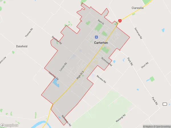
6174 people live in Carterton, Wellington, NZCarterton Suburb Area Map (Polygon)
Carterton Introduction
Carterton is a small town in the Wellington region of New Zealand, located in the Wairarapa District. It is known for its historic buildings, including the Carterton District Library and the Carterton War Memorial Hall. The town has a population of around 6,000 people and is surrounded by beautiful countryside, including the Rimutaka Range and the Tararua Forest. Carterton is also home to a variety of businesses and industries, including farming, manufacturing, and tourism.Region
Major City
Suburb Name
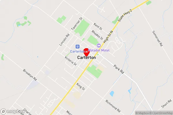
CartertonCarterton Area Map (Street)
Local Authority
Carterton DistrictFull Address
Carterton, Carterton District, New ZealandAddress Type
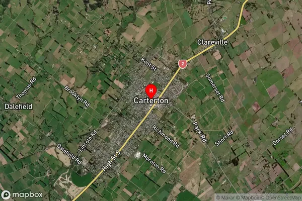
Suburb in Town CartertonCarterton Suburb Map (Satellite)
Country
Main Region in AU
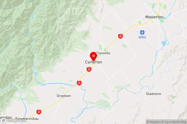
WellingtonCarterton Region Map
Coordinates
-41.0243023,175.5259467 (latitude/longitude)Distances
The distance from Carterton, Carterton, Carterton District to NZ Top 10 Cities