Tomarata Area, Tomarata Postcode(0974) & Map in Tomarata
Tomarata Area, Tomarata Postcode(0974) & Map in Tomarata, Auckland, New Zealand
Tomarata, Auckland, New Zealand
Tomarata Postcodes
Tomarata Area (estimated)
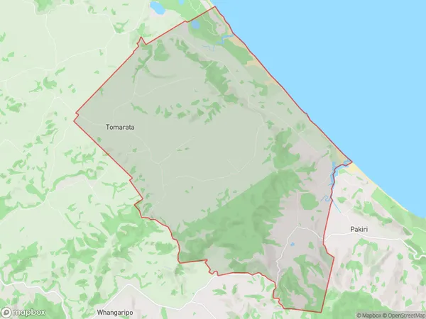
68.1 square kilometersTomarata Population (estimated)
265 people live in Tomarata, Rodney, NZTomarata Suburb Area Map (Polygon)
Tomarata Introduction
Wellsford, Auckland, New Zealand, is home to the 'Tomarata, Wellsford, Auckland, NZ.' It is a rural area with a population of around 5,000 people. The area is known for its beautiful countryside, with rolling hills, farms, and vineyards. It is also home to the 'Tomarata Golf Course,' a popular golf destination. The area has a variety of housing options, from rural farms to suburban homes. It is located about 20 kilometers from Auckland City and is accessible by road and public transport.Region
Major City
Suburb Name
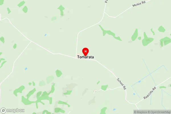
TomarataTomarata Area Map (Street)
Local Authority
AucklandFull Address
Tomarata, Auckland, New ZealandAddress Type
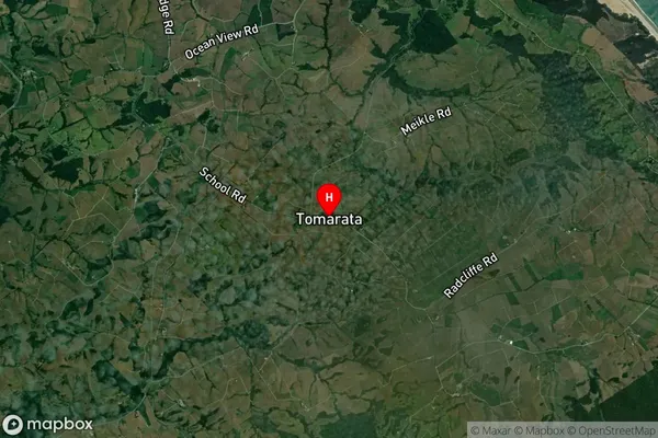
Locality in Town WellsfordTomarata Suburb Map (Satellite)
Country
Main Region in AU
AucklandTomarata Region Map

Coordinates
-36.2312063,174.6353674 (latitude/longitude)Distances
The distance from Tomarata, Wellsford, Auckland to NZ Top 10 Cities