Waimauku Area, Waimauku Postcode(0812) & Map in Waimauku
Waimauku Area, Waimauku Postcode(0812) & Map in Waimauku, Auckland, New Zealand
Waimauku, Auckland, New Zealand
Waimauku Area (estimated)
71.1 square kilometersWaimauku Population (estimated)
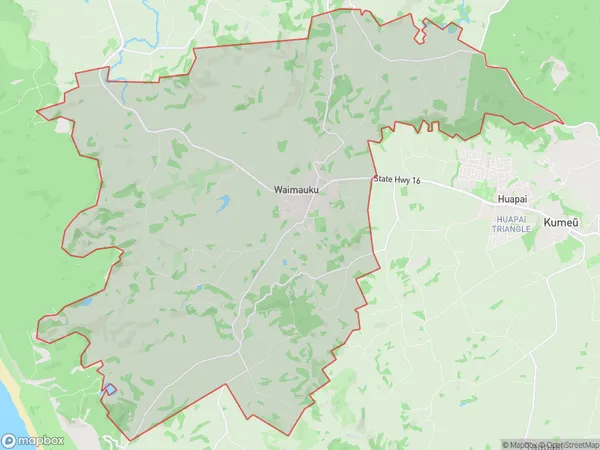
4049 people live in Waimauku, Rodney, NZWaimauku Suburb Area Map (Polygon)
Waimauku Introduction
Waimauku is a rural village located in the North Shore region of Auckland, New Zealand. It is known for its beautiful countryside, lush green forests, and stunning waterfalls. The village has a population of around 6,000 people and is surrounded by picturesque farmland and rolling hills. Waimauku is a popular destination for outdoor activities such as hiking, cycling, and fishing, and is also home to several popular golf courses. The area has a rich history and is home to several historic buildings, including the Waimauku Church and the Waimauku Golf Club.Region
Major City
Suburb Name
WaimaukuOther Name(s)
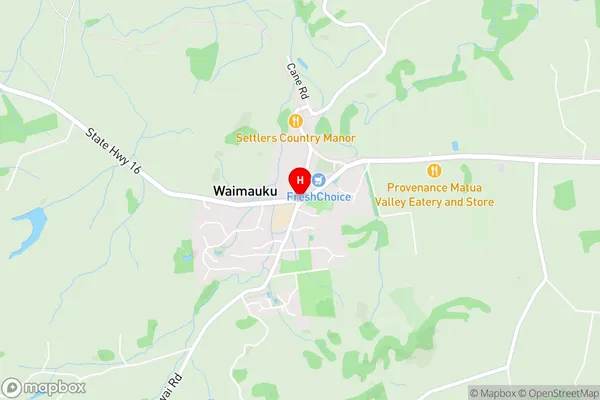
Muriwai Beach, Reweti, Waikoukou ValleyWaimauku Area Map (Street)
Local Authority
AucklandFull Address
Waimauku, Auckland, New ZealandAddress Type
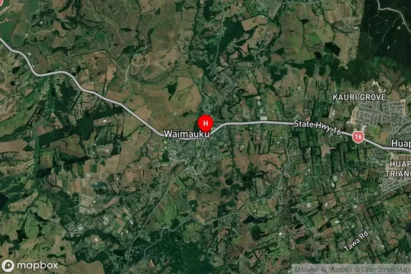
Suburb in Town WaimaukuWaimauku Suburb Map (Satellite)
Country
Main Region in AU
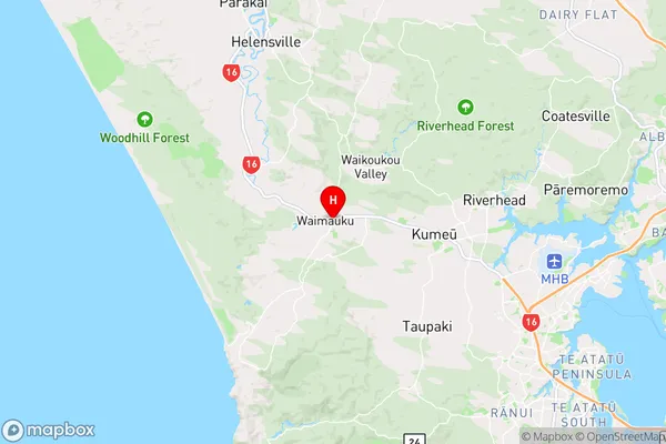
AucklandWaimauku Region Map
Coordinates
-36.7692576,174.4920607 (latitude/longitude)Distances
The distance from Waimauku, Waimauku, Auckland to NZ Top 10 Cities