Yaldhurst Area, Yaldhurst Postcode(8042) & Map in Yaldhurst
Yaldhurst Area, Yaldhurst Postcode(8042) & Map in Yaldhurst, Christchurch City, New Zealand
Yaldhurst, Christchurch City, New Zealand
Yaldhurst Area (estimated)
21.6 square kilometersYaldhurst Population (estimated)
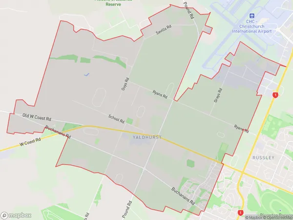
1881 people live in Yaldhurst, Halswell-Hornby-Riccarton Community, NZYaldhurst Suburb Area Map (Polygon)
Yaldhurst Introduction
Yaldhurst is a suburb of Christchurch, New Zealand, located in the eastern suburbs of the city. It is known for its historic homes and gardens, and for being the location of the Yaldhurst Village Museum. The suburb was named after a former resident, William Yaldhurst, who was a prominent businessman and politician in the area.Region
Major City
Suburb Name
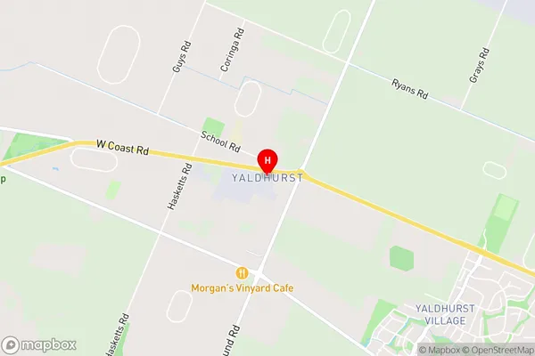
YaldhurstYaldhurst Area Map (Street)
Local Authority
Christchurch CityFull Address
Yaldhurst, Christchurch City, New ZealandAddress Type
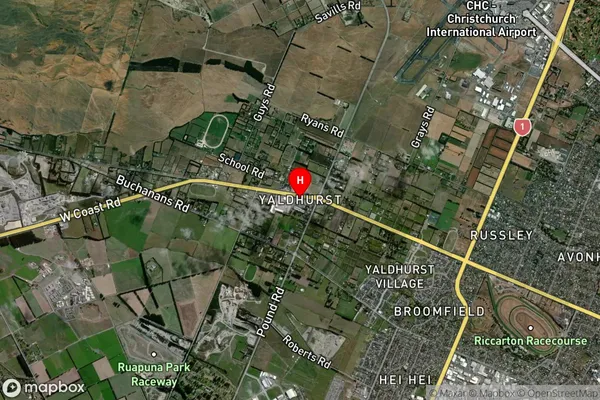
Suburb in City ChristchurchYaldhurst Suburb Map (Satellite)
Country
Main Region in AU
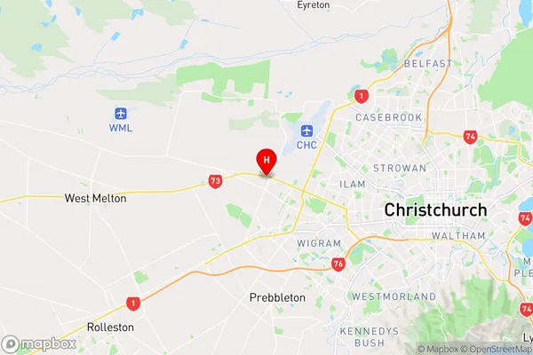
CanterburyYaldhurst Region Map
Coordinates
-43.5127622,172.5057082 (latitude/longitude)Distances
The distance from Yaldhurst, Christchurch, Christchurch City to NZ Top 10 Cities