Wyndham Area, Wyndham Postcode(9831) & Map in Wyndham
Wyndham Area, Wyndham Postcode(9831) & Map in Wyndham, Southland District, New Zealand
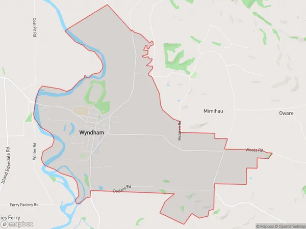
Wyndham, Southland District, New Zealand
Wyndham Area (estimated)
17.9 square kilometersWyndham Population (estimated)
644 people live in Wyndham, Waihopai Toetoe Community, NZWyndham Suburb Area Map (Polygon)
Wyndham Introduction
Wyndham is a small town in Southland, New Zealand, located on the banks of the Mataura River. It is known for its historic buildings, including the Wyndham Hotel, which was built in 1887. The town also has a variety of recreational facilities, including a golf course and a swimming pool.Region
Major City
Suburb Name
WyndhamOther Name(s)
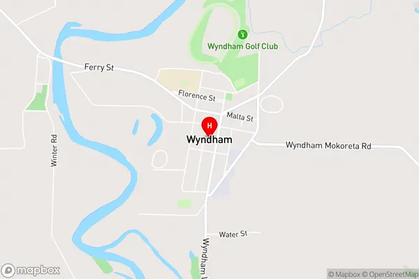
Tuturau SouthWyndham Area Map (Street)
Local Authority
Southland DistrictFull Address
Wyndham, Southland District, New ZealandAddress Type
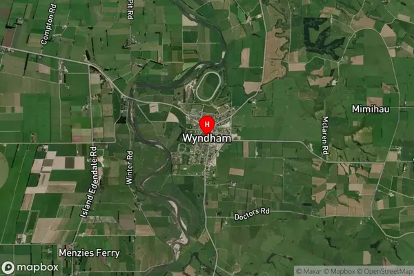
Suburb in Town WyndhamWyndham Suburb Map (Satellite)
Country
Main Region in AU
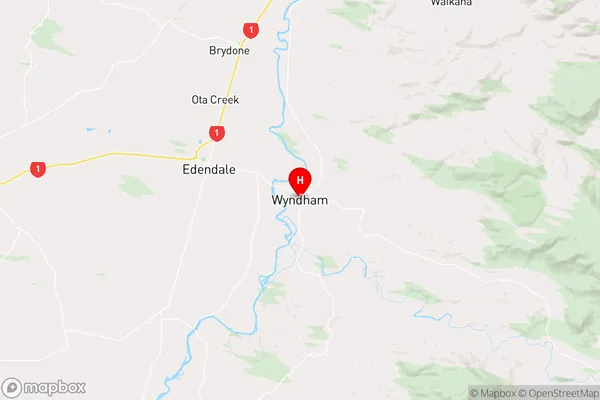
SouthlandWyndham Region Map
Coordinates
-46.32904,168.84779 (latitude/longitude)Distances
The distance from Wyndham, Wyndham, Southland District to NZ Top 10 Cities