Woolston Area, Woolston Postcode(8023) & Map in Woolston
Woolston Area, Woolston Postcode(8023) & Map in Woolston, Christchurch City, New Zealand
Woolston, Christchurch City, New Zealand
Woolston Area (estimated)
6.6 square kilometersWoolston Population (estimated)
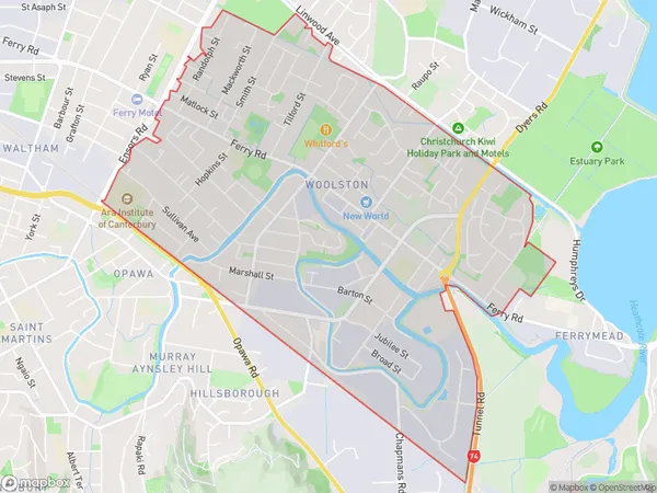
11279 people live in Woolston, Linwood-Central-Heathcote Community, NZWoolston Suburb Area Map (Polygon)
Woolston Introduction
Woolston is a suburb of Christchurch, New Zealand, located in the eastern suburbs of the city. It is known for its vibrant community, with a mix of residential and commercial properties. The suburb has a strong sense of community spirit and is home to a variety of cultural and recreational facilities, including a library, a community center, and a sports complex. Woolston is also well-connected to the rest of Christchurch, with easy access to the city center and the surrounding areas via public transportation.Region
Major City
Suburb Name
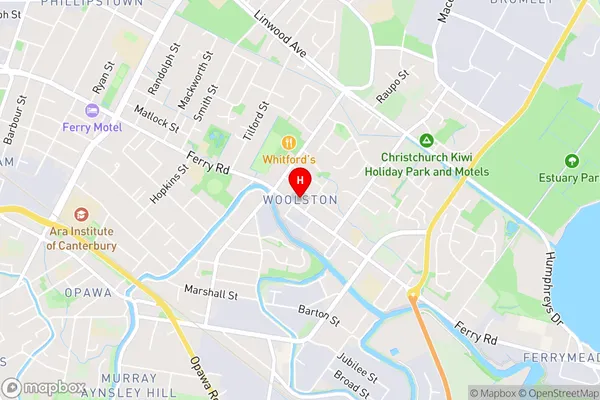
WoolstonWoolston Area Map (Street)
Local Authority
Christchurch CityFull Address
Woolston, Christchurch City, New ZealandAddress Type
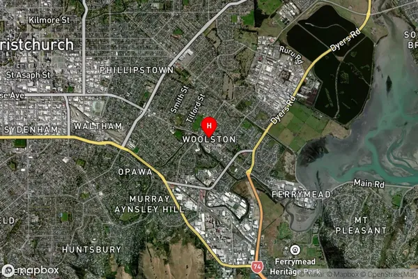
Suburb in City ChristchurchWoolston Suburb Map (Satellite)
Country
Main Region in AU
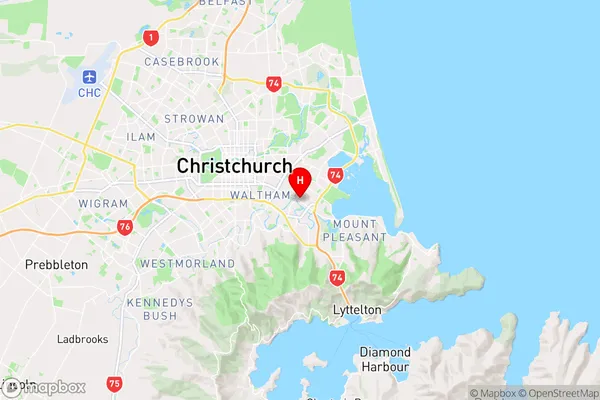
CanterburyWoolston Region Map
Coordinates
-43.5479113,172.6813945 (latitude/longitude)Distances
The distance from Woolston, Christchurch, Christchurch City to NZ Top 10 Cities