Woodside Area, Woodside Postcode(5953) & Map in Woodside
Woodside Area, Woodside Postcode(5953) & Map in Woodside, South Wairarapa District, New Zealand
Woodside, South Wairarapa District, New Zealand
Woodside Postcodes
Woodside Area (estimated)
41.9 square kilometersWoodside Population (estimated)
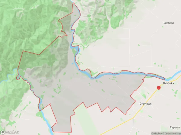
328 people live in Woodside, Greytown Community, NZWoodside Suburb Area Map (Polygon)
Woodside Introduction
Woodside is a suburb of Greytown, Wellington, New Zealand. It is located on the southern side of the city, approximately 5 kilometers from the central business district. The suburb has a population of around 1,500 people and is known for its peaceful atmosphere and scenic surroundings. It is surrounded by lush green parks and reserves, including the Woodside Reserve and the Greytown Forest Park. Woodside is well-connected to the rest of the city by public transport, with regular bus services and a train station located within the suburb.Region
Major City
Suburb Name
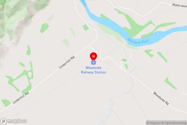
WoodsideWoodside Area Map (Street)
Local Authority
South Wairarapa DistrictFull Address
Woodside, South Wairarapa District, New ZealandAddress Type
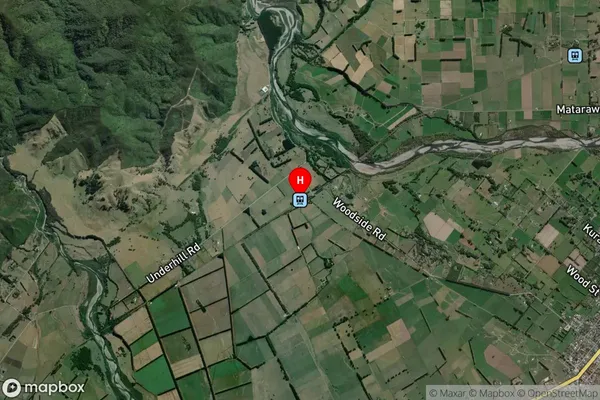
Locality in Town GreytownWoodside Suburb Map (Satellite)
Country
Main Region in AU
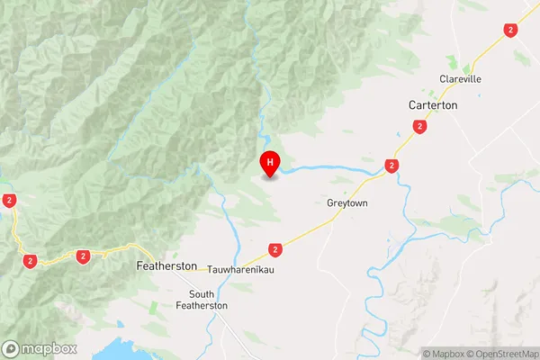
WellingtonWoodside Region Map
Coordinates
-41.0674394,175.401575 (latitude/longitude)Distances
The distance from Woodside, Greytown, South Wairarapa District to NZ Top 10 Cities