Caroline Area, Caroline Postcode & Map in Caroline
Caroline Area, Caroline Postcode & Map in Caroline, Southland District, New Zealand
Caroline, Southland District, New Zealand
Caroline Area (estimated)
39.9 square kilometersCaroline Population (estimated)
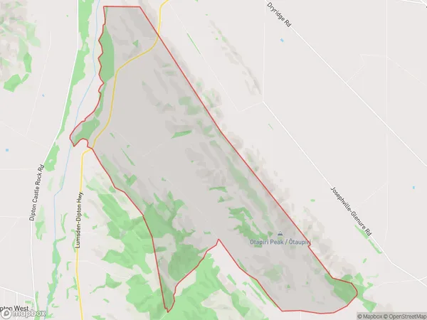
23 people live in Caroline, Oreti Community, NZCaroline Suburb Area Map (Polygon)
Caroline Introduction
Caroline is a small rural town in Southland, New Zealand, located on the banks of the Mataura River. It is known for its scenic surroundings, including the nearby Fiordland National Park and the Southern Alps. The town has a population of around 300 people and is a popular destination for outdoor enthusiasts and tourists.Region
Major City
Suburb Name
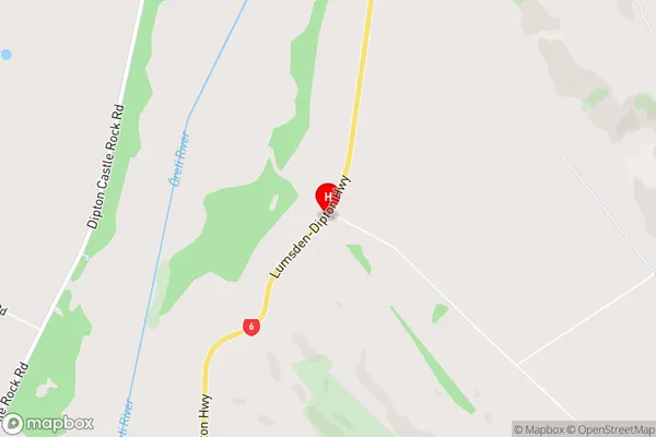
CarolineCaroline Area Map (Street)
Local Authority
Southland DistrictFull Address
Caroline, Southland District, New ZealandAddress Type
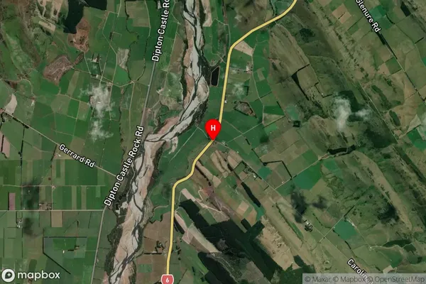
Locality in Major Locality DiptonCaroline Suburb Map (Satellite)
Country
Main Region in AU
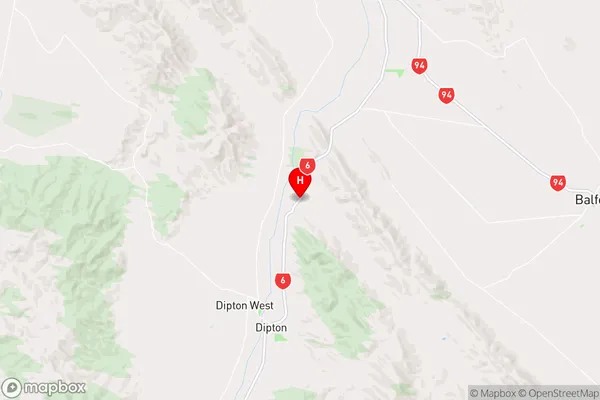
SouthlandCaroline Region Map
Coordinates
-45.8389354,168.3879876 (latitude/longitude)Distances
The distance from Caroline, Dipton, Southland District to NZ Top 10 Cities