Woodend Beach Area, Woodend Beach Postcode(7612) & Map in Woodend Beach
Woodend Beach Area, Woodend Beach Postcode(7612) & Map in Woodend Beach, Waimakariri District, New Zealand
Woodend Beach, Waimakariri District, New Zealand
Woodend Beach Area (estimated)
8.4 square kilometersWoodend Beach Population (estimated)
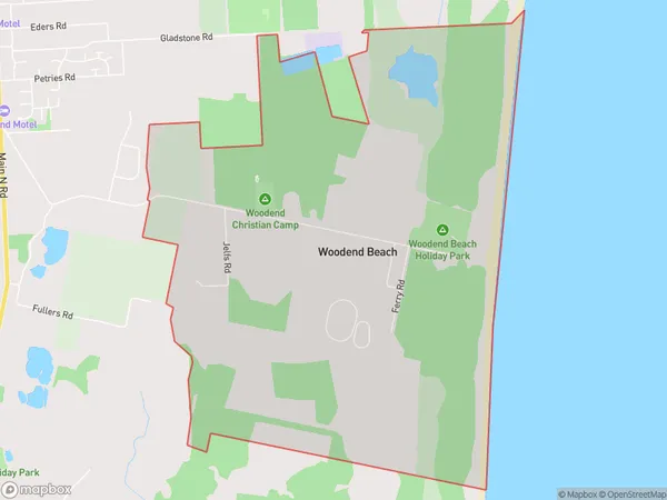
328 people live in Woodend Beach, Canterbury, NZWoodend Beach Suburb Area Map (Polygon)

Woodend Beach Introduction
Woodend Beach is a popular spot for swimming, fishing, and picnicking in Woodend, Canterbury, New Zealand. It is located on the banks of the Ohinemuri River and has a wide sandy beach, picnic facilities, and a playground. The beach is also a popular spot for birdwatching, with several species of birds nesting in the nearby trees and bushes.Region
Major City
Suburb Name
Woodend BeachOther Name(s)
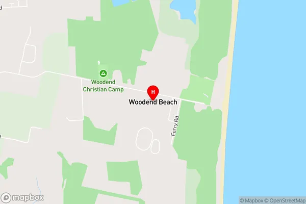
CamsideWoodend Beach Area Map (Street)

Local Authority
Waimakariri DistrictFull Address
Woodend Beach, Waimakariri District, New ZealandAddress Type
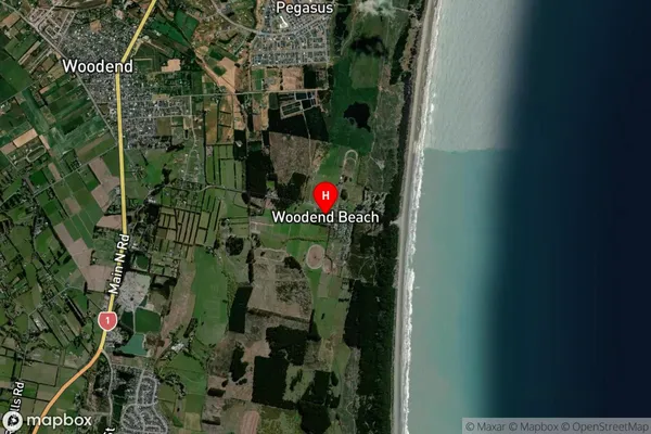
Suburb in Town WoodendWoodend Beach Suburb Map (Satellite)

Country
Main Region in AU
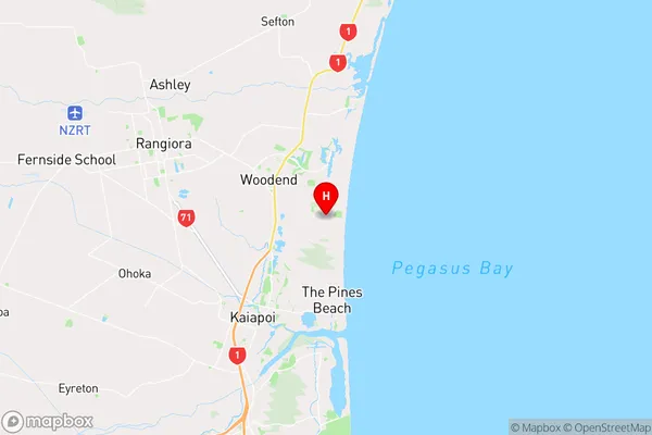
CanterburyWoodend Beach Region Map

Coordinates
-43.3373368,172.6985124 (latitude/longitude)Distances
The distance from Woodend Beach, Woodend, Waimakariri District to NZ Top 10 Cities