Woodend Area, Woodend Postcode(7610) & Map in Woodend
Woodend Area, Woodend Postcode(7610) & Map in Woodend, Waimakariri District, New Zealand
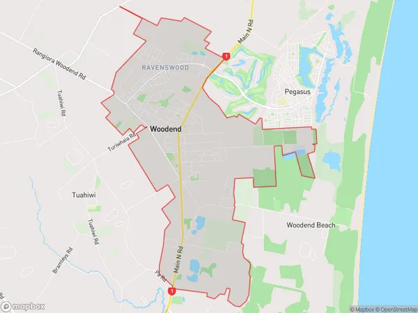
Woodend, Waimakariri District, New Zealand
Woodend Area (estimated)
13.4 square kilometersWoodend Population (estimated)
3966 people live in Woodend, Canterbury, NZWoodend Suburb Area Map (Polygon)
Woodend Introduction
Woodend is a small town in Canterbury, New Zealand, located on the banks of the Clutha River. It is known for its historic architecture, including the Woodend Museum and the Woodend Clock Tower. The town has a population of around 3,000 people and is a popular destination for tourists and locals alike.Region
Major City
Suburb Name
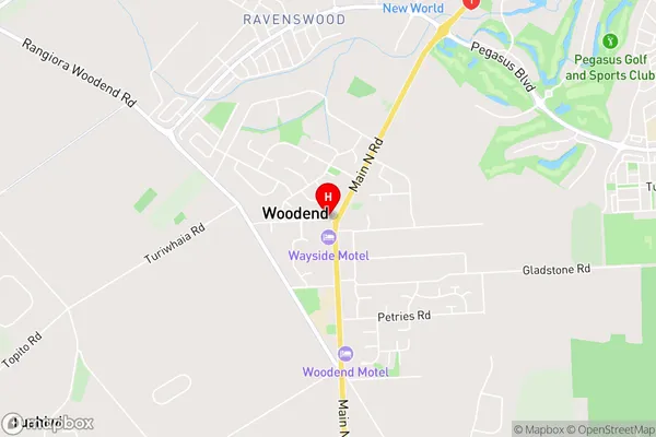
WoodendWoodend Area Map (Street)
Local Authority
Waimakariri DistrictFull Address
Woodend, Waimakariri District, New ZealandAddress Type
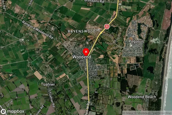
Suburb in Town WoodendWoodend Suburb Map (Satellite)
Country
Main Region in AU
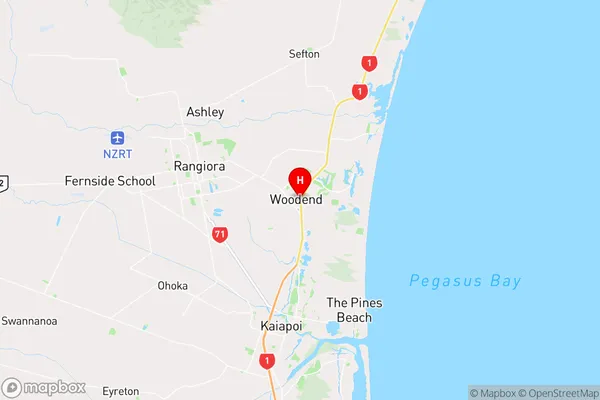
CanterburyWoodend Region Map
Coordinates
-43.32027,172.66505 (latitude/longitude)Distances
The distance from Woodend, Woodend, Waimakariri District to NZ Top 10 Cities