Witherlea Area, Witherlea Postcode(7201) & Map in Witherlea
Witherlea Area, Witherlea Postcode(7201) & Map in Witherlea, Marlborough District, New Zealand
Witherlea, Marlborough District, New Zealand
Witherlea Area (estimated)
5.4 square kilometersWitherlea Population (estimated)
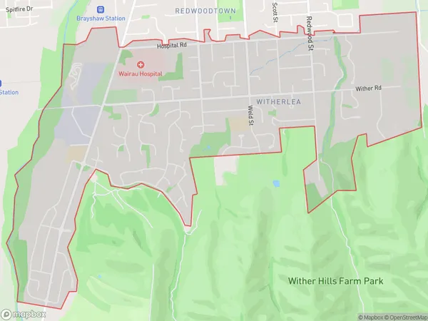
6395 people live in Witherlea, Marlborough, NZWitherlea Suburb Area Map (Polygon)
Witherlea Introduction
Witherlea is a historic home in Blenheim, Marlborough, New Zealand. It was built in 1856 for William Clarke, a politician and judge. The house is surrounded by a large garden and is considered one of the finest examples of Victorian Gothic architecture in New Zealand. Witherlea is now a museum and heritage center, open to the public and home to a collection of historic furniture, art, and artifacts.Region
Major City
Suburb Name
WitherleaOther Name(s)
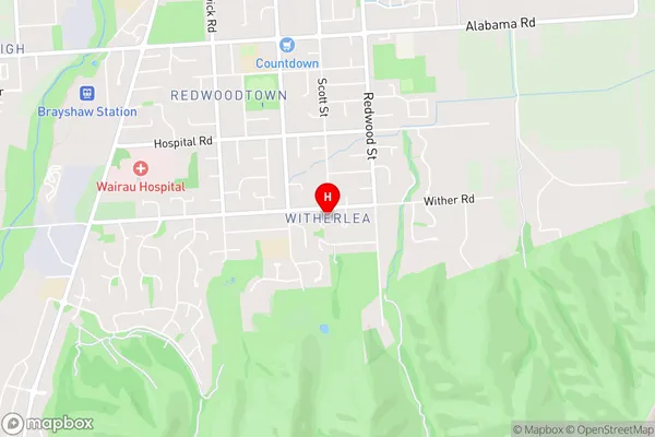
Omaka, Solar Heights, Wither Hills Park, Wither RiseWitherlea Area Map (Street)
Local Authority
Marlborough DistrictFull Address
Witherlea, Marlborough District, New ZealandAddress Type
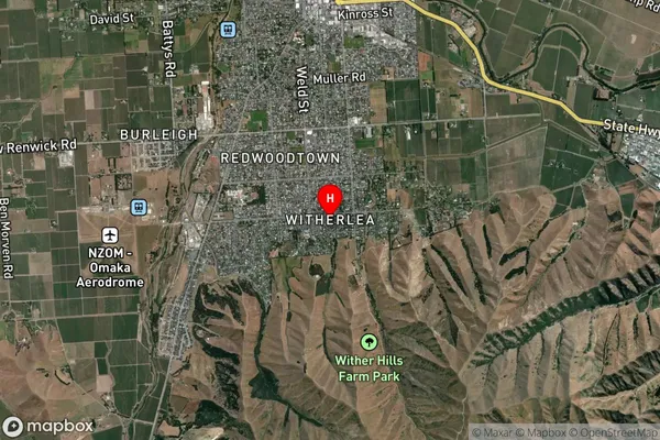
Suburb in Town BlenheimWitherlea Suburb Map (Satellite)
Country
Main Region in AU
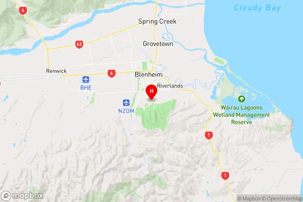
MarlboroughWitherlea Region Map
Coordinates
-41.5388887,173.9585441 (latitude/longitude)Distances
The distance from Witherlea, Blenheim, Marlborough District to NZ Top 10 Cities