Wigram Area, Wigram Postcode(8042) & Map in Wigram
Wigram Area, Wigram Postcode(8042) & Map in Wigram, Christchurch City, New Zealand
Wigram, Christchurch City, New Zealand
Wigram Area (estimated)
7.0 square kilometersWigram Population (estimated)
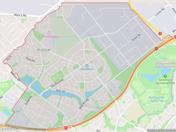
9725 people live in Wigram, Halswell-Hornby-Riccarton Community, NZWigram Suburb Area Map (Polygon)
Wigram Introduction
Wigram is a suburb of Christchurch, New Zealand, located 7 km west of the city center. It is known for its historic buildings, including the Wigram Air Force Base and the Wigram Aerodrome. The suburb has a population of around 30,000 people and is home to a variety of cultural and recreational facilities, including the Wigram Community Centre and the Wigram Village Green.Region
Major City
Suburb Name
WigramOther Name(s)
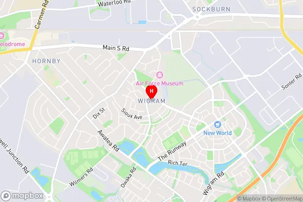
Wigram Park, Wigram SkiesWigram Area Map (Street)
Local Authority
Christchurch CityFull Address
Wigram, Christchurch City, New ZealandAddress Type
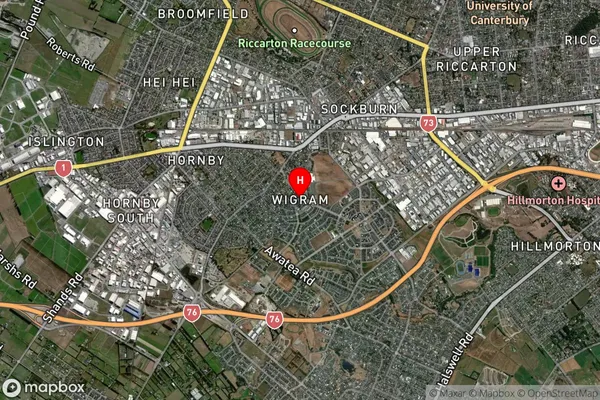
Suburb in City ChristchurchWigram Suburb Map (Satellite)
Country
Main Region in AU
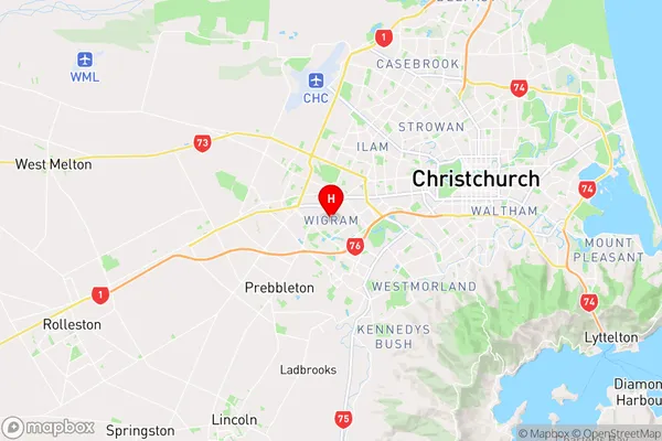
CanterburyWigram Region Map
Coordinates
-43.5497926,172.5462481 (latitude/longitude)Distances
The distance from Wigram, Christchurch, Christchurch City to NZ Top 10 Cities