Whitstone Area, Whitstone Postcode(9401) & Map in Whitstone
Whitstone Area, Whitstone Postcode(9401) & Map in Whitstone, Waitaki District, New Zealand
Whitstone, Waitaki District, New Zealand
Whitstone Postcodes
Whitstone Area (estimated)
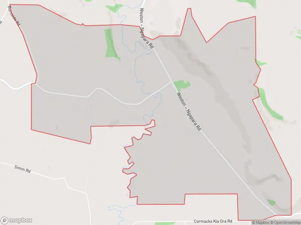
9.9 square kilometersWhitstone Population (estimated)
38 people live in Whitstone, Otago, NZWhitstone Suburb Area Map (Polygon)
Whitstone Introduction
Whitstone is a small rural town in Otago, New Zealand, located on the banks of the Waitaki River. It is known for its historic stone buildings and scenic surroundings, and is a popular destination for tourists and outdoor enthusiasts. The town has a population of around 500 people and is situated about 100 kilometers south of Dunedin.Region
Major City
Suburb Name
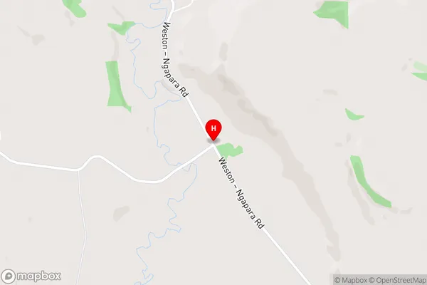
WhitstoneWhitstone Area Map (Street)
Local Authority
Waitaki DistrictFull Address
Whitstone, Waitaki District, New ZealandAddress Type
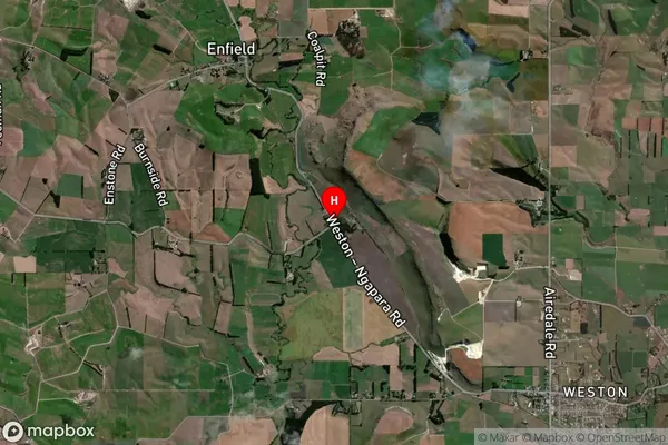
Locality in Town OamaruWhitstone Suburb Map (Satellite)
Country
Main Region in AU
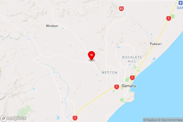
OtagoWhitstone Region Map
Coordinates
-45.0602748,170.8847594 (latitude/longitude)Distances
The distance from Whitstone, Oamaru, Waitaki District to NZ Top 10 Cities