Whitikahu Area, Whitikahu Postcode & Map in Whitikahu
Whitikahu Area, Whitikahu Postcode & Map in Whitikahu, Waikato District, New Zealand
Whitikahu, Waikato District, New Zealand
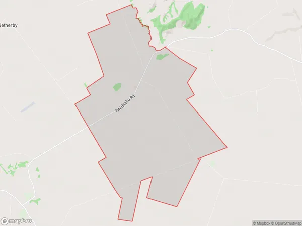
Whitikahu Area (estimated)
35.6 square kilometersWhitikahu Population (estimated)
332 people live in Whitikahu, Waikato, NZWhitikahu Suburb Area Map (Polygon)
Whitikahu Introduction
Whitikahu is a small rural community located in the Taupiri District of Waikato, New Zealand. It is situated on the banks of the Waikato River, approximately 30 kilometers south of Hamilton City. The community has a population of around 500 people and is known for its scenic rural setting, historic buildings, and strong sense of community. Whitikahu is also home to a popular golf course and a variety of recreational facilities, including a swimming pool and a sports field.Region
Major City
Suburb Name
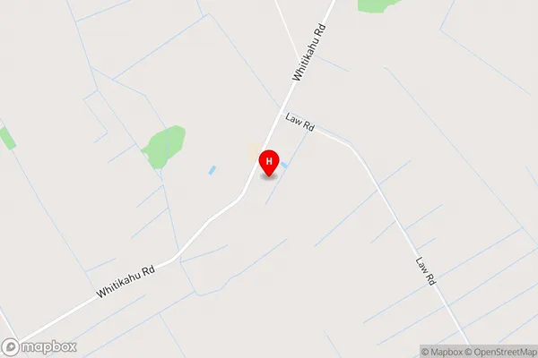
WhitikahuWhitikahu Area Map (Street)
Local Authority
Waikato DistrictFull Address
Whitikahu, Waikato District, New ZealandAddress Type
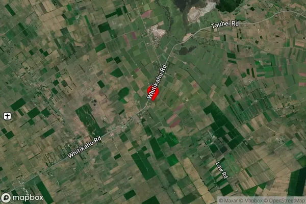
Locality in Town TaupiriWhitikahu Suburb Map (Satellite)
Country
Main Region in AU
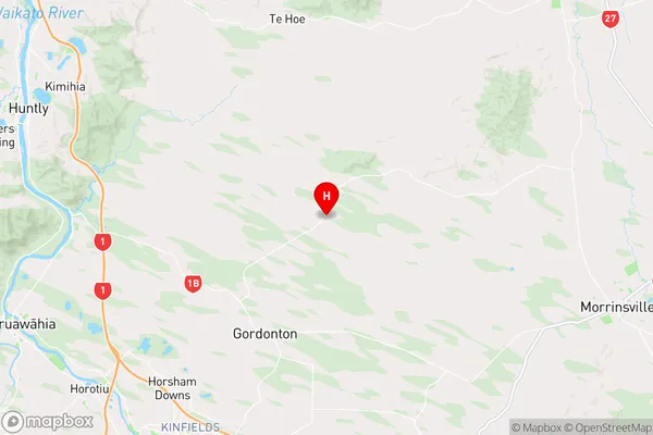
WaikatoWhitikahu Region Map
Coordinates
-37.6131244,175.3469865 (latitude/longitude)Distances
The distance from Whitikahu, Taupiri, Waikato District to NZ Top 10 Cities