White Pine Bush Area, White Pine Bush Postcode & Map in White Pine Bush
White Pine Bush Area, White Pine Bush Postcode & Map in White Pine Bush, Whakatane District,
White Pine Bush, Whakatane District,
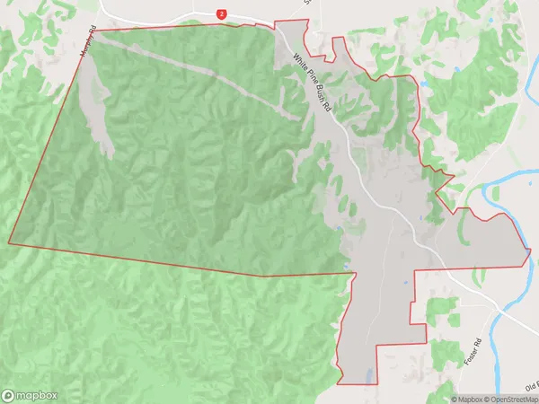
White Pine Bush Area (estimated)
33.0 square kilometersWhite Pine Bush Population (estimated)
192 people live in White Pine Bush, Whakatane, NZWhite Pine Bush Suburb Area Map (Polygon)
White Pine Bush Introduction
The 'White Pine Bush' is a popular walking and hiking track in Whakatane, Bay of Plenty, New Zealand. It is a 4.5-kilometer loop that takes about an hour to complete and offers stunning views of the surrounding forest, river, and coastline. The track is well-maintained and suitable for all fitness levels, with a variety of terrain including stairs, boardwalks, and quiet paths. It is a great place to spot native birds, including kereru, tui, and kiwi, and to enjoy the peaceful beauty of nature.Region
Major City
Suburb Name
White Pine BushWhite Pine Bush Area Map (Street)
Local Authority
Whakatane DistrictFull Address
White Pine Bush, Whakatane District,Address Type
Locality in Town WhakataneWhite Pine Bush Suburb Map (Satellite)
Country
Main Region in AU
Bay of PlentyWhite Pine Bush Region Map
Coordinates
0,0 (latitude/longitude)Distances
The distance from White Pine Bush, Whakatane, Whakatane District to NZ Top 10 Cities