Whenuanui Bay Area, Whenuanui Bay Postcode & Map in Whenuanui Bay
Whenuanui Bay Area, Whenuanui Bay Postcode & Map in Whenuanui Bay, Marlborough District,
Whenuanui Bay, Marlborough District,
Whenuanui Bay Area (estimated)
2.6 square kilometersWhenuanui Bay Population (estimated)
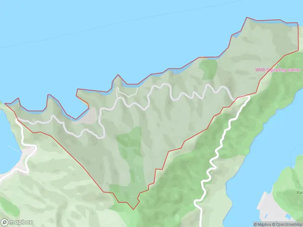
46 people live in Whenuanui Bay, Picton, NZWhenuanui Bay Suburb Area Map (Polygon)
Whenuanui Bay Introduction
Whenuanui Bay is a picturesque and peaceful bay located in Picton, Marlborough, New Zealand. It is surrounded by stunning natural scenery, including lush forests, mountains, and vineyards. The bay is a popular spot for swimming, kayaking, and fishing, and it is also home to a variety of wildlife, including seals, dolphins, and penguins. Visitors can explore the bay on foot or by boat, and there are several nearby accommodations and restaurants to choose from.Region
Major City
Suburb Name
Whenuanui BayWhenuanui Bay Area Map (Street)
Local Authority
Marlborough DistrictFull Address
Whenuanui Bay, Marlborough District,Address Type
Locality in Town PictonWhenuanui Bay Suburb Map (Satellite)
Country
Main Region in AU
MarlboroughWhenuanui Bay Region Map
Coordinates
0,0 (latitude/longitude)Distances
The distance from Whenuanui Bay, Picton, Marlborough District to NZ Top 10 Cities