Whatatutu Area, Whatatutu Postcode(4094) & Map in Whatatutu
Whatatutu Area, Whatatutu Postcode(4094) & Map in Whatatutu, Gisborne District, New Zealand
Whatatutu, Gisborne District, New Zealand
Whatatutu Postcodes
Whatatutu Area (estimated)
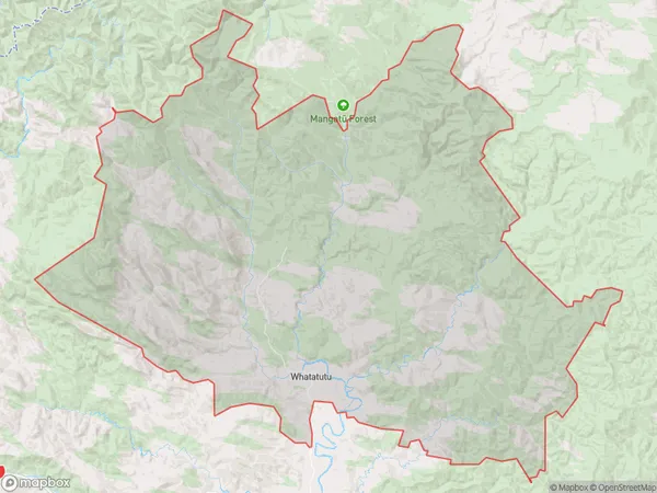
799.7 square kilometersWhatatutu Population (estimated)
410 people live in Whatatutu, Gisborne, NZWhatatutu Suburb Area Map (Polygon)
Whatatutu Introduction
Whatatutu, Te Karaka, Gisborne, NZ, is a significant archaeological site with a rich history of human settlement dating back to around 1280 CE. It is located on the eastern coast of the North Island and is known for its well-preserved stone structures, including a large pa site and a village complex. The site is of cultural and historical significance to the local Māori people and is managed by the Department of Conservation.Region
Major City
Suburb Name
WhatatutuOther Name(s)
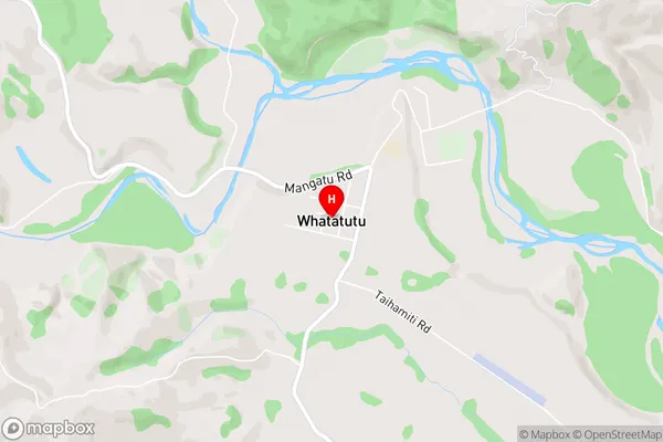
Kanakanaia, TologaWhatatutu Area Map (Street)
Local Authority
Gisborne DistrictFull Address
Whatatutu, Gisborne District, New ZealandAddress Type
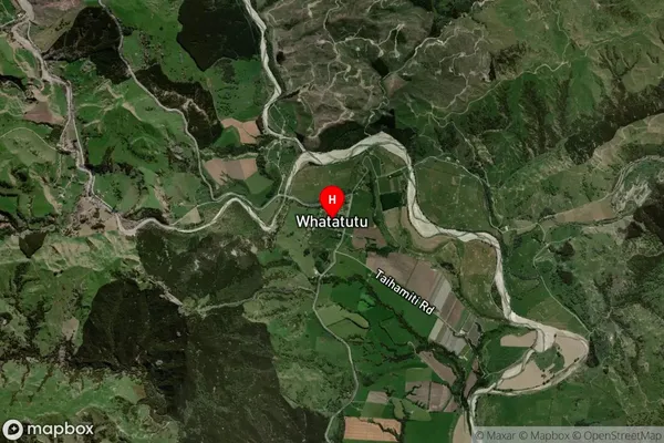
Locality in Town Te KarakaWhatatutu Suburb Map (Satellite)
Country
Main Region in AU
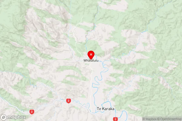
GisborneWhatatutu Region Map
Coordinates
-38.3832771,177.8312591 (latitude/longitude)Distances
The distance from Whatatutu, Te Karaka, Gisborne District to NZ Top 10 Cities