Whatanihi Area, Whatanihi Postcode & Map in Whatanihi
Whatanihi Area, Whatanihi Postcode & Map in Whatanihi, Marlborough District,
Whatanihi, Marlborough District,
Whatanihi Area (estimated)
9.0 square kilometersWhatanihi Population (estimated)
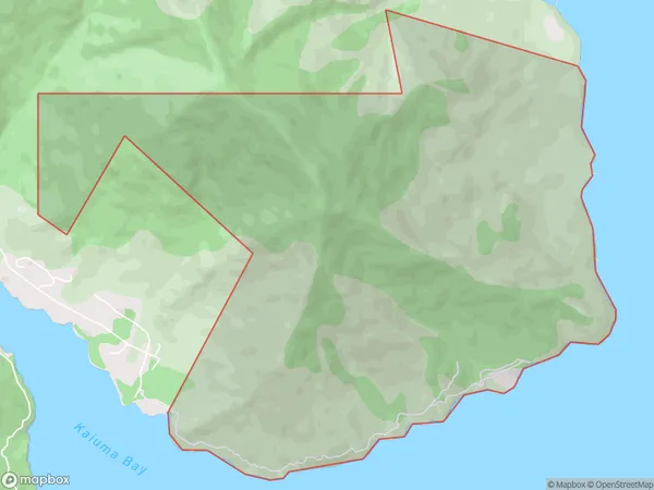
15 people live in Whatanihi, Havelock, NZWhatanihi Suburb Area Map (Polygon)
Whatanihi Introduction
'Whatanihi, Havelock, Marlborough, NZ' is a small rural community located in the Marlborough region of New Zealand's South Island. It is situated in the Havelock Valley, surrounded by picturesque farmland and stunning natural landscapes. The community has a population of around 200 people and is known for its friendly community spirit and relaxed rural lifestyle. It is a popular destination for tourists who enjoy hiking, cycling, and exploring the local wineries and restaurants.Region
Major City
Suburb Name
WhatanihiWhatanihi Area Map (Street)
Local Authority
Marlborough DistrictFull Address
Whatanihi, Marlborough District,Address Type
Locality in Town HavelockWhatanihi Suburb Map (Satellite)
Country
Main Region in AU
MarlboroughWhatanihi Region Map
Coordinates
0,0 (latitude/longitude)Distances
The distance from Whatanihi, Havelock, Marlborough District to NZ Top 10 Cities