Whatamango Bay Area, Whatamango Bay Postcode & Map in Whatamango Bay
Whatamango Bay Area, Whatamango Bay Postcode & Map in Whatamango Bay, Marlborough District, New Zealand
Whatamango Bay, Marlborough District, New Zealand
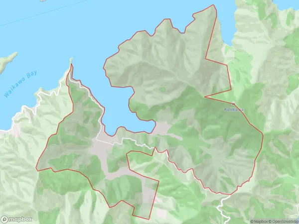
Whatamango Bay Area (estimated)
17.1 square kilometersWhatamango Bay Population (estimated)
63 people live in Whatamango Bay, Marlborough, NZWhatamango Bay Suburb Area Map (Polygon)
Whatamango Bay Introduction
Picton is a small town on the Marlborough Sounds in New Zealand's South Island. It is well-known for its picturesque waterfront, cafes, and restaurants. It is also a popular starting point for boat trips and excursions to nearby islands and wineries. Picton is a gateway to the Marlborough region's stunning natural scenery, including the Marlborough Sounds, Queen Charlotte Sound, and the Abel Tasman National Park.Region
Major City
Suburb Name
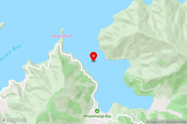
Whatamango BayWhatamango Bay Area Map (Street)
Local Authority
Marlborough DistrictFull Address
Whatamango Bay, Marlborough District, New ZealandAddress Type
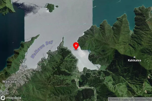
Locality in Town PictonWhatamango Bay Suburb Map (Satellite)
Country
Main Region in AU
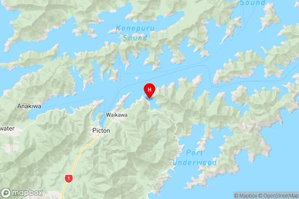
MarlboroughWhatamango Bay Region Map
Coordinates
-41.2587392,174.0735409 (latitude/longitude)Distances
The distance from Whatamango Bay, Picton, Marlborough District to NZ Top 10 Cities