Canvastown Area, Canvastown Postcode & Map in Canvastown
Canvastown Area, Canvastown Postcode & Map in Canvastown, Marlborough District, New Zealand
Canvastown, Marlborough District, New Zealand
Canvastown Area (estimated)
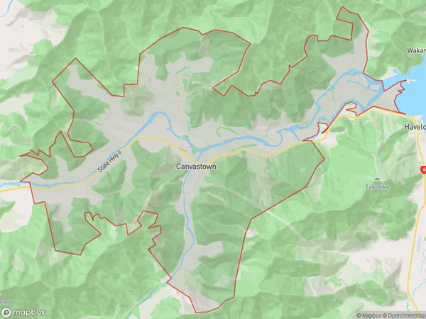
86.0 square kilometersCanvastown Population (estimated)
292 people live in Canvastown, Marlborough, NZCanvastown Suburb Area Map (Polygon)
Canvastown Introduction
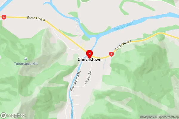
Canvastown is a small rural community in Marlborough, New Zealand, located on State Highway 1. It is known for its scenic views, historic buildings, and a variety of outdoor activities such as hiking, cycling, and fishing. The community has a school, a post office, a supermarket, and a few cafes and restaurants. Havelock is a nearby town that is known for its wine production and scenic beauty.Region
Major City
Suburb Name
CanvastownCanvastown Area Map (Street)
Local Authority
Marlborough DistrictFull Address
Canvastown, Marlborough District, New ZealandAddress Type
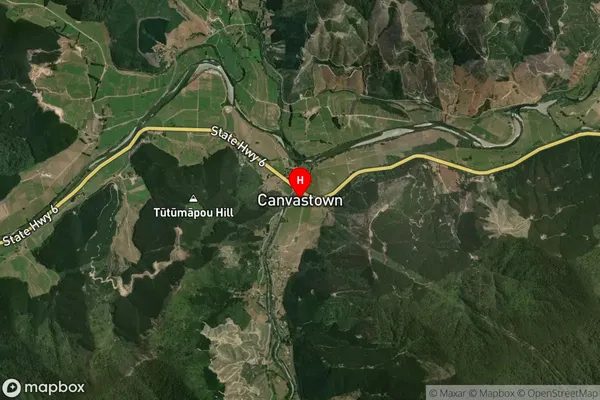
Locality in Town HavelockCanvastown Suburb Map (Satellite)
Country
Main Region in AU
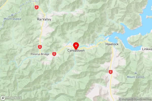
MarlboroughCanvastown Region Map
Coordinates
-41.2916341,173.670074 (latitude/longitude)Distances
The distance from Canvastown, Havelock, Marlborough District to NZ Top 10 Cities