Whanawhana Area, Whanawhana Postcode & Map in Whanawhana
Whanawhana Area, Whanawhana Postcode & Map in Whanawhana, Hastings District,
Whanawhana, Hastings District,
Whanawhana Area (estimated)
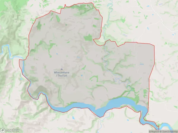
75.2 square kilometersWhanawhana Population (estimated)
52 people live in Whanawhana, Hastings, NZWhanawhana Suburb Area Map (Polygon)
Whanawhana Introduction
Whanawhana is a small rural community in Hastings, Hawke's Bay, New Zealand. It is located on State Highway 2, approximately 10 kilometers south of Hastings city center. The community has a population of around 500 people and is known for its scenic surroundings, including the Whanawhana Scenic Reserve and the Waipawa River. Whanawhana is also home to a number of historic buildings, including the Whanawhana Church and the Whanawhana Hall.Region
Major City
Suburb Name
WhanawhanaWhanawhana Area Map (Street)
Local Authority
Hastings DistrictFull Address
Whanawhana, Hastings District,Address Type
Locality in City HastingsWhanawhana Suburb Map (Satellite)
Country
Main Region in AU
Hawke's BayWhanawhana Region Map
Coordinates
0,0 (latitude/longitude)Distances
The distance from Whanawhana, Hastings, Hastings District to NZ Top 10 Cities