Whakatane Area, Whakatane Postcode(3158) & Map in Whakatane
Whakatane Area, Whakatane Postcode(3158) & Map in Whakatane, Whakatane District, New Zealand
Whakatane, Whakatane District, New Zealand
Whakatane Area (estimated)
20.8 square kilometersWhakatane Population (estimated)
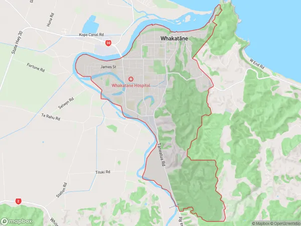
14624 people live in Whakatane, Bay of Plenty, NZWhakatane Suburb Area Map (Polygon)
Whakatane Introduction
Whakatane is a city in the Bay of Plenty region of New Zealand's North Island. It is well-known for its warm subtropical climate, stunning natural scenery, and vibrant cultural scene. The city is surrounded by picturesque beaches, lush forests, and the stunning Mount Maunganui, which is a popular destination for tourists and locals alike. Whakatane also has a rich history and culture, with many historic buildings and landmarks, including the Whakatane Museum and the St. Patrick's Cathedral.Region
Major City
Suburb Name
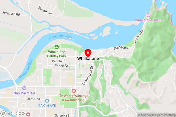
Whakatane (Maori Name: Whakatāne)Whakatane Area Map (Street)
Local Authority
Whakatane DistrictFull Address
Whakatane, Whakatane District, New ZealandAddress Type
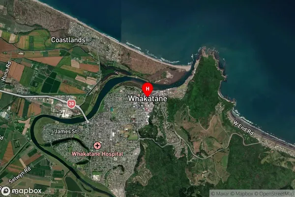
Suburb in Town WhakataneWhakatane Suburb Map (Satellite)
Country
Main Region in AU
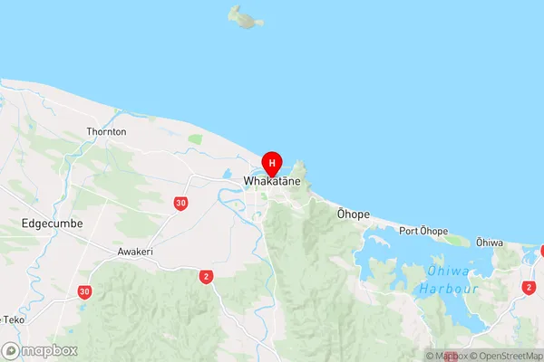
Bay of PlentyWhakatane Region Map
Coordinates
-37.9519223,176.9945977 (latitude/longitude)Distances
The distance from Whakatane, Whakatane, Whakatane District to NZ Top 10 Cities