Whakapara Area, Whakapara Postcode(0182) & Map in Whakapara
Whakapara Area, Whakapara Postcode(0182) & Map in Whakapara, Whangarei District, New Zealand
Whakapara, Whangarei District, New Zealand
Whakapara Postcodes
Whakapara Area (estimated)
124.8 square kilometersWhakapara Population (estimated)
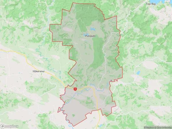
815 people live in Whakapara, Northland, NZWhakapara Suburb Area Map (Polygon)
Whakapara Introduction
Whakapara is a small coastal village located in the Hikurangi region of Northland, New Zealand. It is known for its stunning natural beauty, including the Whakapara Falls, a powerful waterfall that attracts visitors from all over the world. The village is also home to a number of important cultural sites, including the Whakapara Marae, a traditional Maori meeting house.Region
Major City
Suburb Name
WhakaparaOther Name(s)
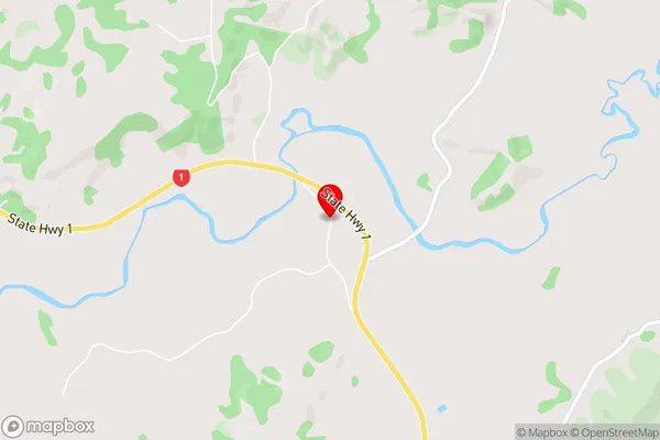
Kaimamaku, Otonga, Puhipuhi, RuatangataWhakapara Area Map (Street)
Local Authority
Whangarei DistrictFull Address
Whakapara, Whangarei District, New ZealandAddress Type
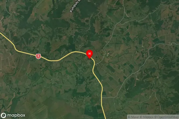
Locality in Town HikurangiWhakapara Suburb Map (Satellite)
Country
Main Region in AU
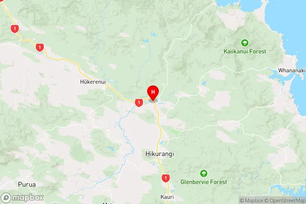
NorthlandWhakapara Region Map
Coordinates
-35.5421004,174.2759219 (latitude/longitude)Distances
The distance from Whakapara, Hikurangi, Whangarei District to NZ Top 10 Cities