Wether Hill Area, Wether Hill Postcode & Map in Wether Hill
Wether Hill Area, Wether Hill Postcode & Map in Wether Hill, Southland District, New Zealand
Wether Hill, Southland District, New Zealand
Wether Hill Area (estimated)
22.0 square kilometersWether Hill Population (estimated)
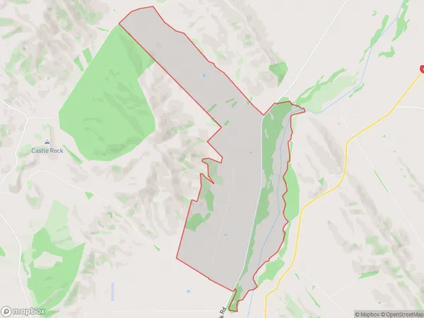
24 people live in Wether Hill, Northern Community, NZWether Hill Suburb Area Map (Polygon)
Wether Hill Introduction
Wether Hill is a historic home and farm located in Dipton, Southland, New Zealand. It was built in the 1870s and is considered one of the best-preserved examples of a Scottish baronial-style homestead in the country. The house is surrounded by extensive gardens and farmland, and it is listed as a "Category I" historic place by the New Zealand Historic Places Trust.Region
Major City
Suburb Name
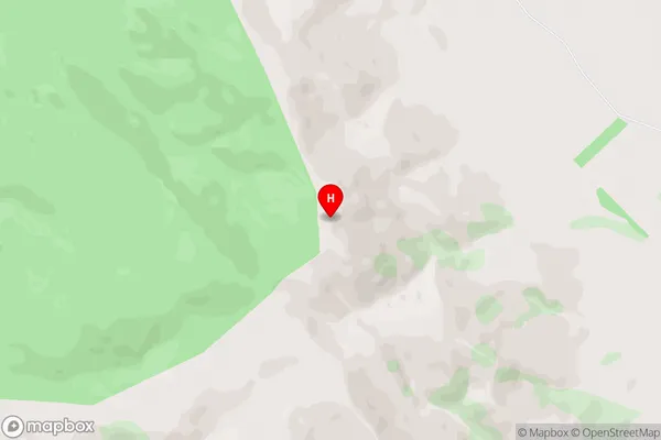
Wether HillWether Hill Area Map (Street)
Local Authority
Southland DistrictFull Address
Wether Hill, Southland District, New ZealandAddress Type
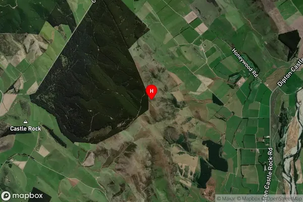
Locality in Major Locality DiptonWether Hill Suburb Map (Satellite)
Country
Main Region in AU
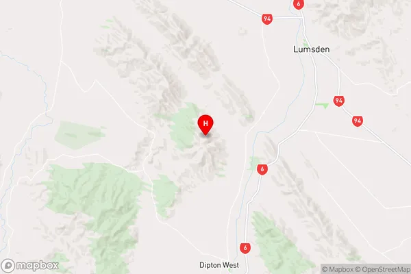
SouthlandWether Hill Region Map
Coordinates
-45.79994,168.3363 (latitude/longitude)Distances
The distance from Wether Hill, Dipton, Southland District to NZ Top 10 Cities