Westwood Area, Westwood Postcode(9035) & Map in Westwood
Westwood Area, Westwood Postcode(9035) & Map in Westwood, Dunedin City, New Zealand
Westwood, Dunedin City, New Zealand
Westwood Postcodes
Westwood Area (estimated)
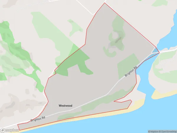
2.7 square kilometersWestwood Population (estimated)
149 people live in Westwood, Dunedin, NZWestwood Suburb Area Map (Polygon)
Westwood Introduction
Westwood is a suburb of Dunedin, New Zealand, located 5 km northwest of the city center. It is known for its historic homes and gardens, and the Westwood Cemetery, where many prominent Dunedin residents are buried. The suburb has a strong community spirit and is home to a variety of shops, cafes, and recreational facilities.Region
Major City
Suburb Name
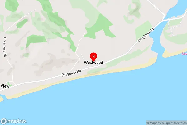
WestwoodWestwood Area Map (Street)
Local Authority
Dunedin CityFull Address
Westwood, Dunedin City, New ZealandAddress Type
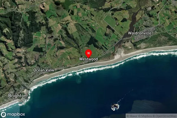
Suburb in City DunedinWestwood Suburb Map (Satellite)
Country
Main Region in AU
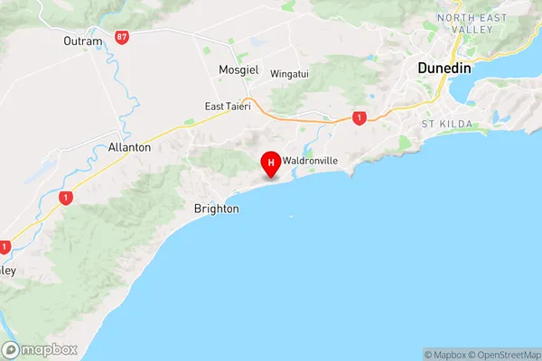
OtagoWestwood Region Map
Coordinates
-45.9336791,170.3718864 (latitude/longitude)Distances
The distance from Westwood, Dunedin, Dunedin City to NZ Top 10 Cities