Westmorland Area, Westmorland Postcode(8025) & Map in Westmorland
Westmorland Area, Westmorland Postcode(8025) & Map in Westmorland, Christchurch City, New Zealand
Westmorland, Christchurch City, New Zealand
Westmorland Postcodes
Westmorland Area (estimated)
3.0 square kilometersWestmorland Population (estimated)
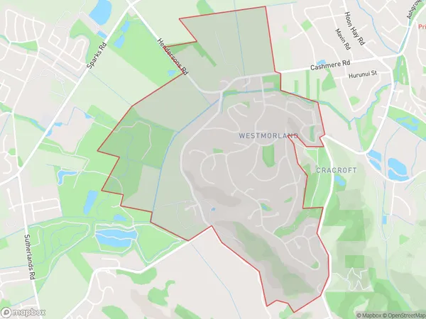
2174 people live in Westmorland, Halswell-Hornby-Riccarton Community, NZWestmorland Suburb Area Map (Polygon)
Westmorland Introduction
Westmorland is a suburb of Christchurch, New Zealand. It is located in the city's western suburbs and is known for its peaceful atmosphere, scenic views, and well-maintained homes. The suburb has a variety of recreational facilities, including parks, playgrounds, and sports fields, and is close to the city's central business district and other amenities.Region
Major City
Suburb Name
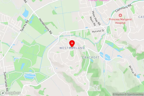
WestmorlandWestmorland Area Map (Street)
Local Authority
Christchurch CityFull Address
Westmorland, Christchurch City, New ZealandAddress Type
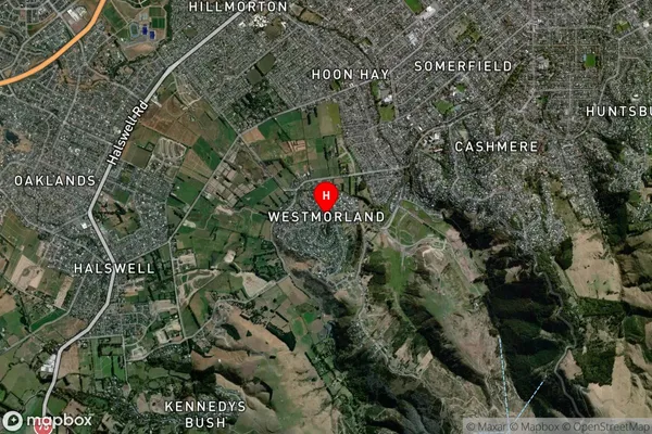
Suburb in City ChristchurchWestmorland Suburb Map (Satellite)
Country
Main Region in AU
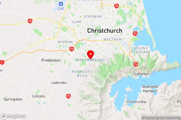
CanterburyWestmorland Region Map
Coordinates
-43.5796587,172.6041104 (latitude/longitude)Distances
The distance from Westmorland, Christchurch, Christchurch City to NZ Top 10 Cities