Cambrians Area, Cambrians Postcode & Map in Cambrians
Cambrians Area, Cambrians Postcode & Map in Cambrians, Central Otago District, New Zealand
Cambrians, Central Otago District, New Zealand
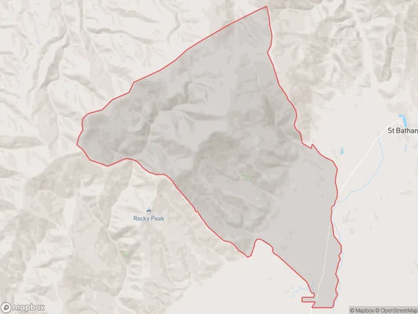
Cambrians Area (estimated)
137.8 square kilometersCambrians Population (estimated)
51 people live in Cambrians, Vincent Community, NZCambrians Suburb Area Map (Polygon)
Cambrians Introduction
Cambrians is a small rural community in Otago, New Zealand, located in the Omakau District. It is known for its scenic landscapes, including the Cambrians Mountains and the Omakau River. The community has a population of around 50 people and is surrounded by farmland and native bush. Cambrians is a popular destination for outdoor activities such as hiking, skiing, and fishing, and is also home to a number of historic buildings and landmarks.Region
Major City
Suburb Name
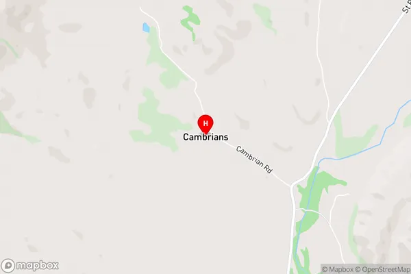
CambriansCambrians Area Map (Street)
Local Authority
Central Otago DistrictFull Address
Cambrians, Central Otago District, New ZealandAddress Type
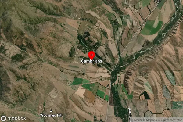
Locality in Major Locality OmakauCambrians Suburb Map (Satellite)
Country
Main Region in AU
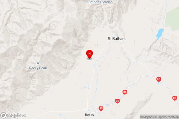
OtagoCambrians Region Map
Coordinates
-44.905511,169.7469878 (latitude/longitude)Distances
The distance from Cambrians, Omakau, Central Otago District to NZ Top 10 Cities