Woodside Area, Woodside Postcode(9054) & Map in Woodside
Woodside Area, Woodside Postcode(9054) & Map in Woodside, Dunedin City, New Zealand
Woodside, Dunedin City, New Zealand
Woodside Postcodes
Woodside Area (estimated)
109.6 square kilometersWoodside Population (estimated)
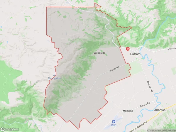
336 people live in Woodside, Otago, NZWoodside Suburb Area Map (Polygon)
Woodside Introduction
Woodside is a small rural community in Outram, Otago, New Zealand. It is located on the banks of the Clutha River, approximately 20 kilometers south of Dunedin. The area is known for its scenic countryside, historic buildings, and friendly community. Woodside has a primary school, a post office, a convenience store, and a few small businesses. The community is surrounded by farmland and forested areas, and is popular with outdoor enthusiasts and nature lovers.Region
Major City
Suburb Name
WoodsideOther Name(s)
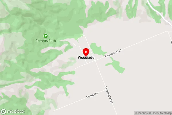
Harveys Flat, Maungatua, West TaieriWoodside Area Map (Street)
Local Authority
Dunedin CityFull Address
Woodside, Dunedin City, New ZealandAddress Type
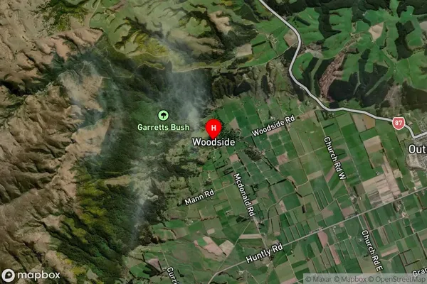
Locality in Town OutramWoodside Suburb Map (Satellite)
Country
Main Region in AU
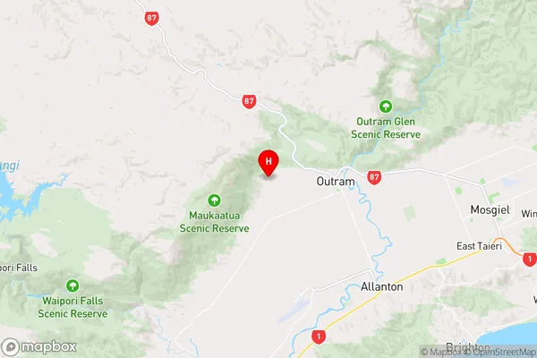
OtagoWoodside Region Map
Coordinates
-45.8586045,170.1773599 (latitude/longitude)Distances
The distance from Woodside, Outram, Dunedin City to NZ Top 10 Cities