West Head Area, West Head Postcode & Map in West Head
West Head Area, West Head Postcode & Map in West Head, Marlborough District, New Zealand
West Head, Marlborough District, New Zealand
West Head Area (estimated)
9.6 square kilometersWest Head Population (estimated)
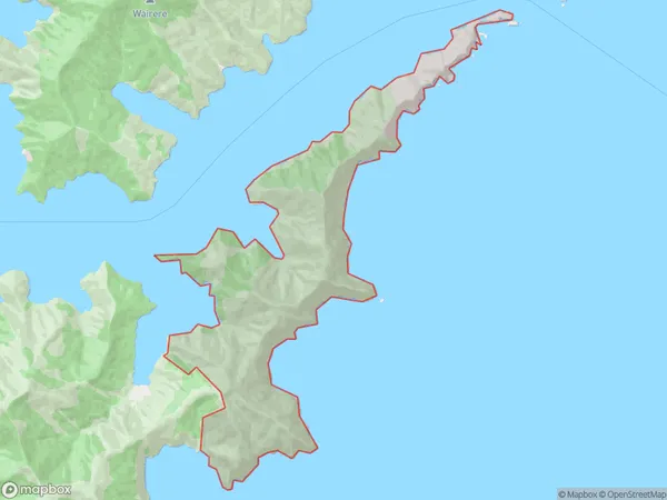
3 people live in West Head, Banks Peninsula Community, NZWest Head Suburb Area Map (Polygon)
West Head Introduction
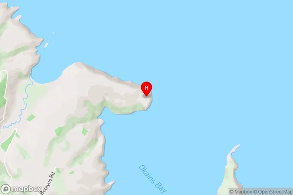
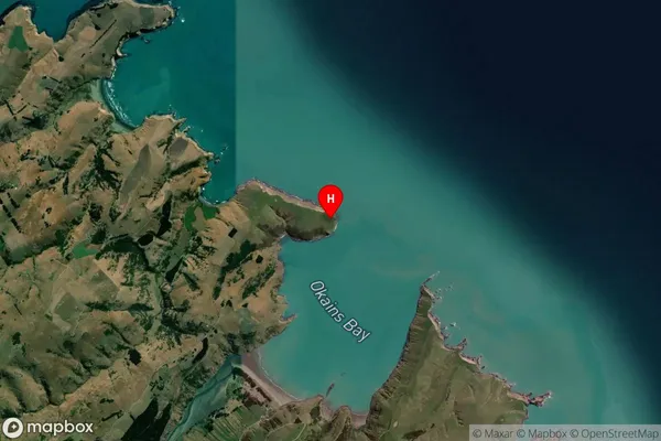
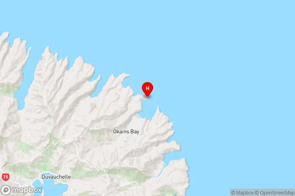
West Head is a headland on the southern side of the entrance to Akaroa Harbour in the Marlborough Sounds of New Zealand. It is located 22 kilometers southeast of Picton and 115 kilometers northeast of Christchurch. The area is known for its scenic views, including the West Head Lighthouse, which was built in 1878. The lighthouse is a popular tourist attraction and is a key navigational aid for ships entering the harbor.Region
Major City
Suburb Name
West HeadWest Head Area Map (Street)
Local Authority
Marlborough DistrictFull Address
West Head, Marlborough District, New ZealandAddress Type
Locality in Town PictonWest Head Suburb Map (Satellite)
Country
Main Region in AU
CanterburyWest Head Region Map
Coordinates
-43.675667,173.072361 (latitude/longitude)Distances
The distance from West Head, Picton, Marlborough District to NZ Top 10 Cities