West End Area, West End Postcode(4440) & Map in West End
West End Area, West End Postcode(4440) & Map in West End, Palmerston North City, New Zealand
West End, Palmerston North City, New Zealand
West End Area (estimated)
3.3 square kilometersWest End Population (estimated)
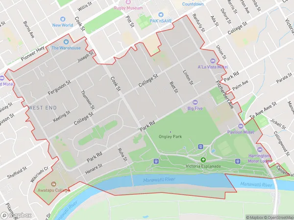
5670 people live in West End, Palmerston North, NZWest End Suburb Area Map (Polygon)
West End Introduction
West End is a suburb of Palmerston North, located in the Manawatu-Wanganui region of New Zealand. It is known for its vibrant community, historic homes, and proximity to the city center. The suburb has a variety of shops, cafes, and recreational facilities, including a golf course and a swimming pool. West End is also home to a number of important historical sites, including the West End Museum and the St. John's Anglican Church.Region
Major City
Suburb Name
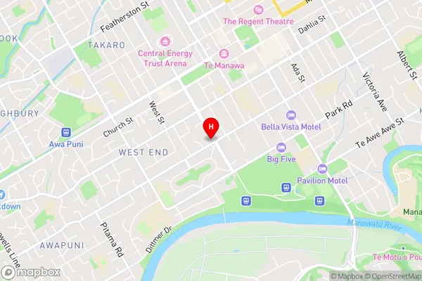
West EndWest End Area Map (Street)
Local Authority
Palmerston North CityFull Address
West End, Palmerston North City, New ZealandAddress Type
Suburb in City Palmerston NorthWest End Suburb Map (Satellite)

Country
Main Region in AU
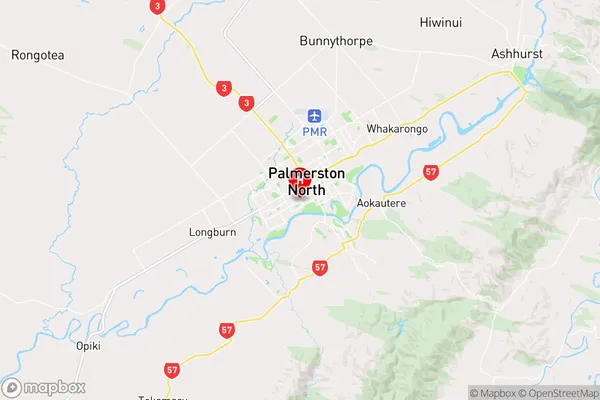
Manawatu-WanganuiWest End Region Map
Coordinates
-40.3659372,175.6067738 (latitude/longitude)Distances
The distance from West End, Palmerston North, Palmerston North City to NZ Top 10 Cities