West Dome Area, West Dome Postcode & Map in West Dome
West Dome Area, West Dome Postcode & Map in West Dome, Southland District, New Zealand
West Dome, Southland District, New Zealand
West Dome Area (estimated)
250.6 square kilometersWest Dome Population (estimated)
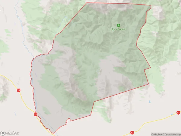
9 people live in West Dome, Northern Community, NZWest Dome Suburb Area Map (Polygon)
West Dome Introduction
West Dome is a mountain in Southland, New Zealand. It is located in the Fiordland National Park and is part of the Southern Alps mountain range. The mountain is known for its stunning alpine scenery, including glaciers, lakes, and waterfalls. West Dome is a popular hiking and climbing destination, with several trails leading to the summit. The mountain is also home to a variety of wildlife, including kea, mountain goats, and tahr.Region
0Suburb Name
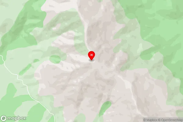
West DomeWest Dome Area Map (Street)
Local Authority
Southland DistrictFull Address
West Dome, Southland District, New ZealandAddress Type
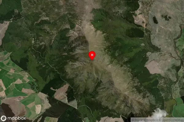
Locality in Major Locality ActonWest Dome Suburb Map (Satellite)
Country
Main Region in AU
SouthlandWest Dome Region Map

Coordinates
-45.58399,168.21922 (latitude/longitude)Distances
The distance from West Dome, Acton, Southland District to NZ Top 10 Cities