Camborne Area, Camborne Postcode(5026) & Map in Camborne
Camborne Area, Camborne Postcode(5026) & Map in Camborne, Porirua City, New Zealand
Camborne, Porirua City, New Zealand
Camborne Postcodes
Camborne Area (estimated)
1.5 square kilometersCamborne Population (estimated)
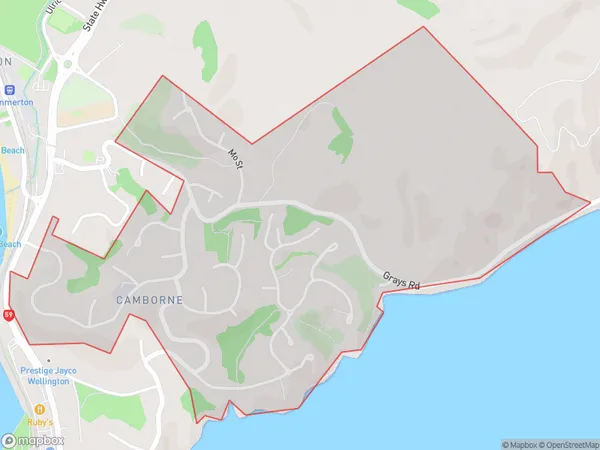
1808 people live in Camborne, Porirua, NZCamborne Suburb Area Map (Polygon)
Camborne Introduction
Camborne is a suburb of Porirua, Wellington, New Zealand, with a population of around 6,000 people. It is located on the northern shore of Porirua Harbour and is known for its scenic views, beaches, and recreational facilities. The area has a mix of residential and commercial properties, with several shopping centers and restaurants. Camborne is also home to the Camborne School, a co-educational primary school with a roll of around 200 students.Region
Major City
Suburb Name
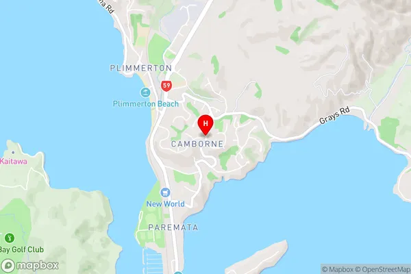
CamborneCamborne Area Map (Street)
Local Authority
Porirua CityFull Address
Camborne, Porirua City, New ZealandAddress Type
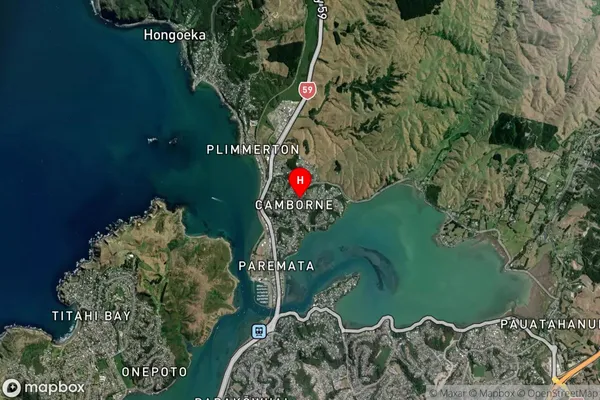
Suburb in City PoriruaCamborne Suburb Map (Satellite)
Country
Main Region in AU
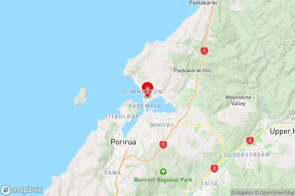
WellingtonCamborne Region Map
Coordinates
-41.0890619,174.8736429 (latitude/longitude)Distances
The distance from Camborne, Porirua, Porirua City to NZ Top 10 Cities