Alicetown Area, Alicetown Postcode(5010) & Map in Alicetown
Alicetown Area, Alicetown Postcode(5010) & Map in Alicetown, Lower Hutt City, New Zealand
Alicetown, Lower Hutt City, New Zealand
Alicetown Area (estimated)
1.1 square kilometersAlicetown Population (estimated)
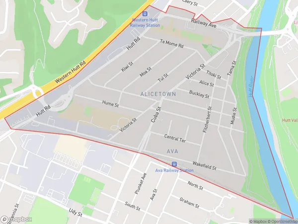
2265 people live in Alicetown, Lower Hutt, NZAlicetown Suburb Area Map (Polygon)
Alicetown Introduction
Alicetown is a suburb of Lower Hutt, Wellington, New Zealand. It is known for its vibrant community and cultural heritage, with a large Pacific Islander population. The area features a variety of shops, restaurants, and recreational facilities, including the Alicetown Aquatic Centre and the Alicetown Park Racecourse. Alicetown is also home to the historic St. Patrick's Cathedral, which was built in 1865.Region
Major City
Suburb Name
AlicetownOther Name(s)
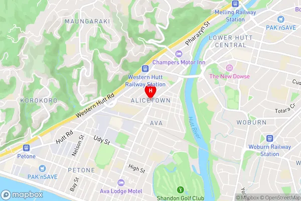
Ava, Lower Hutt Central, WellingtonAlicetown Area Map (Street)
Local Authority
Lower Hutt CityFull Address
Alicetown, Lower Hutt City, New ZealandAddress Type
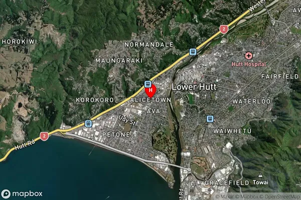
Suburb in City Lower HuttAlicetown Suburb Map (Satellite)
Country
Main Region in AU
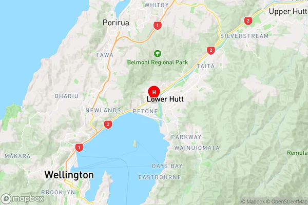
WellingtonAlicetown Region Map
Coordinates
-41.2159989,174.8908801 (latitude/longitude)Distances
The distance from Alicetown, Lower Hutt, Lower Hutt City to NZ Top 10 Cities