Weka Pass Area, Weka Pass Postcode(7420) & Map in Weka Pass
Weka Pass Area, Weka Pass Postcode(7420) & Map in Weka Pass, Hurunui District, New Zealand
Weka Pass, Hurunui District, New Zealand
Weka Pass Postcodes
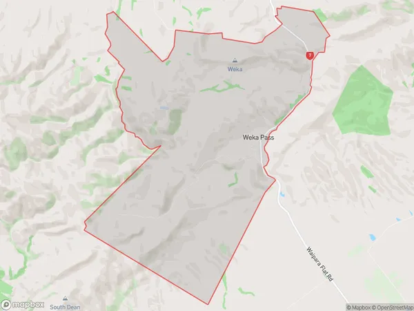
Weka Pass Area (estimated)
40.0 square kilometersWeka Pass Population (estimated)
16 people live in Weka Pass, Canterbury, NZWeka Pass Suburb Area Map (Polygon)

Weka Pass Introduction
Waipara Gorge is a 20-minute drive from Weka Pass, a historic area in Waipara, North Canterbury, New Zealand. It is a popular tourist destination with a variety of walking tracks, a historic stone bridge, and stunning views of the Waipara Valley. The pass was built in 1878 by the New Zealand Department of Public Works to improve access to the Waipara Valley.Region
0Suburb Name
Weka PassOther Name(s)
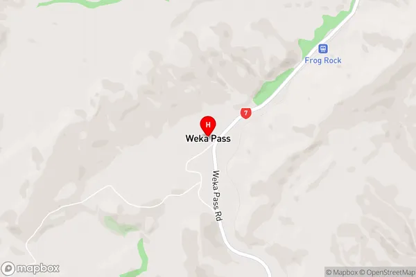
Scargill ValleyWeka Pass Area Map (Street)

Local Authority
Hurunui DistrictFull Address
Weka Pass, Hurunui District, New ZealandAddress Type
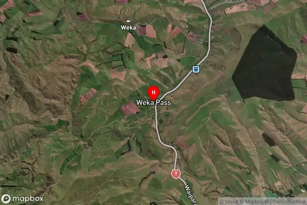
Locality in Major Locality WaiparaWeka Pass Suburb Map (Satellite)

Country
Main Region in AU
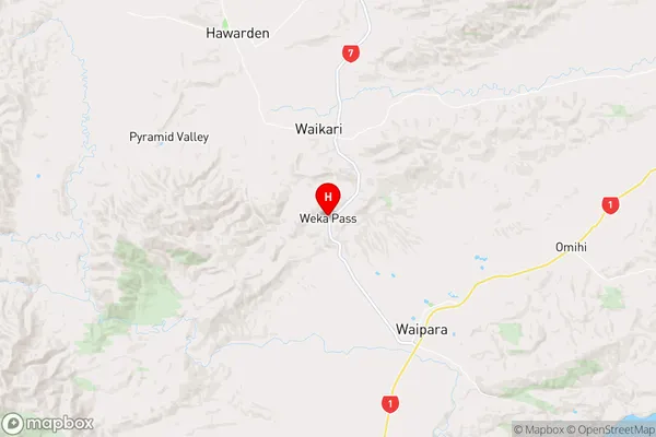
CanterburyWeka Pass Region Map

Coordinates
-43.0075491,172.7013445 (latitude/longitude)Distances
The distance from Weka Pass, Waipara, Hurunui District to NZ Top 10 Cities