Wattle Downs Area, Wattle Downs Postcode(2103) & Map in Wattle Downs
Wattle Downs Area, Wattle Downs Postcode(2103) & Map in Wattle Downs, Auckland, New Zealand
Wattle Downs, Auckland, New Zealand
Wattle Downs Postcodes
Wattle Downs Area (estimated)
3.7 square kilometersWattle Downs Population (estimated)
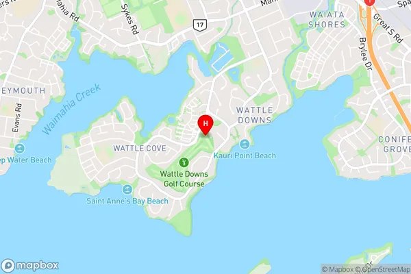
8900 people live in Wattle Downs, Manurewa, NZWattle Downs Suburb Area Map (Polygon)

Wattle Downs Introduction
Wattle Downs is a suburb in Auckland, New Zealand, located in the Waitakere Ranges. It is known for its rural atmosphere, scenic views, and large homes. The area has a variety of recreational facilities, including parks, walking trails, and a golf course. Wattle Downs is also home to a number of important historical sites, including the Wattle Downs War Memorial and the Wattle Downs Farm.Region
Major City
Suburb Name
Wattle DownsOther Name(s)
Mahia ParkWattle Downs Area Map (Street)
Local Authority
AucklandFull Address
Wattle Downs, Auckland, New ZealandAddress Type
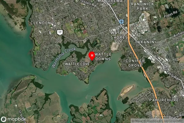
Suburb in City AucklandWattle Downs Suburb Map (Satellite)
Country
Main Region in AU
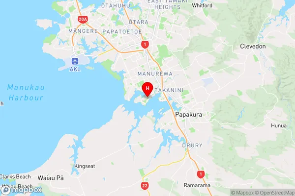
AucklandWattle Downs Region Map
Coordinates
-37.0489804,174.8896326 (latitude/longitude)Distances
The distance from Wattle Downs, Auckland, Auckland to NZ Top 10 Cities