Waltham Area, Waltham Postcode(8240) & Map in Waltham
Waltham Area, Waltham Postcode(8240) & Map in Waltham, Christchurch City, New Zealand
Waltham, Christchurch City, New Zealand
Waltham Area (estimated)
2.1 square kilometersWaltham Population (estimated)
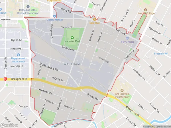
3619 people live in Waltham, Linwood-Central-Heathcote Community, NZWaltham Suburb Area Map (Polygon)
Waltham Introduction
Waltham is a suburb of Christchurch, New Zealand, located in the eastern suburbs of the city. It is known for its historic buildings, including the Waltham Church, and its peaceful atmosphere. Waltham also has a variety of shops and restaurants, as well as a popular park and playground.Region
Major City
Suburb Name
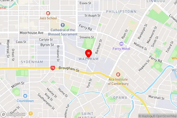
WalthamWaltham Area Map (Street)
Local Authority
Christchurch CityFull Address
Waltham, Christchurch City, New ZealandAddress Type
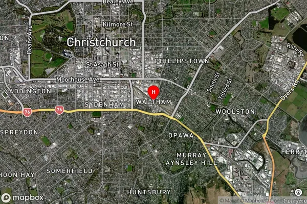
Suburb in City ChristchurchWaltham Suburb Map (Satellite)
Country
Main Region in AU
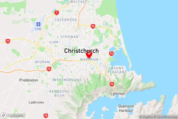
CanterburyWaltham Region Map
Coordinates
-43.5455474,172.6540015 (latitude/longitude)Distances
The distance from Waltham, Christchurch, Christchurch City to NZ Top 10 Cities