Wallingford Area, Wallingford Postcode(4284) & Map in Wallingford
Wallingford Area, Wallingford Postcode(4284) & Map in Wallingford, Central Hawke's Bay District, New Zealand
Wallingford, Central Hawke's Bay District, New Zealand
Wallingford Postcodes
Wallingford Area (estimated)
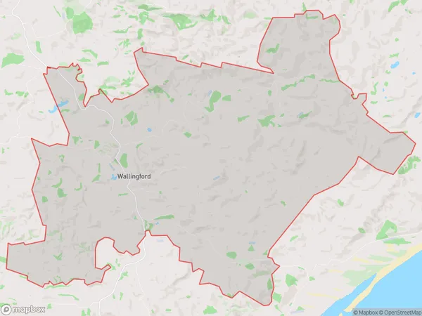
135.5 square kilometersWallingford Population (estimated)
119 people live in Wallingford, Hawke's Bay, NZWallingford Suburb Area Map (Polygon)
Wallingford Introduction
Wallingford is a small town in the Hawke's Bay region of New Zealand, located on State Highway 2. It is known for its historic stone buildings and scenic surroundings, including the Waipukurau River and the surrounding hills. The town has a population of around 2,000 people and is a popular destination for tourists and locals alike.Region
Major City
Suburb Name
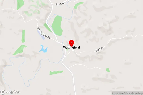
WallingfordWallingford Area Map (Street)
Local Authority
Central Hawke's Bay DistrictFull Address
Wallingford, Central Hawke's Bay District, New ZealandAddress Type
Locality in Town WaipukurauWallingford Suburb Map (Satellite)

Country
Main Region in AU
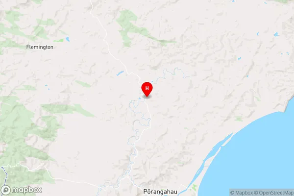
Hawke's BayWallingford Region Map
Coordinates
-40.2029444,176.5953649 (latitude/longitude)Distances
The distance from Wallingford, Waipukurau, Central Hawke's Bay District to NZ Top 10 Cities