Wallacetown Area, Wallacetown Postcode(9816) & Map in Wallacetown
Wallacetown Area, Wallacetown Postcode(9816) & Map in Wallacetown, Southland District, New Zealand
Wallacetown, Southland District, New Zealand
Wallacetown Postcodes
Wallacetown Area (estimated)
18.8 square kilometersWallacetown Population (estimated)
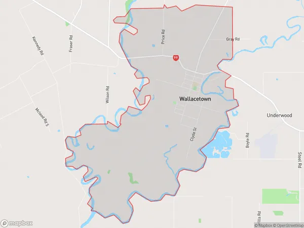
836 people live in Wallacetown, Oreti Community, NZWallacetown Suburb Area Map (Polygon)
Wallacetown Introduction
Wallacetown is a small town in Southland, New Zealand, located on the southern shore of Lake Wakatipu. It is known for its scenic surroundings, including the nearby Mount Owen and the Wakatipu Forest. The town has a population of around 1,000 people and is a popular destination for tourists and outdoor enthusiasts.Region
Major City
Suburb Name
WallacetownOther Name(s)
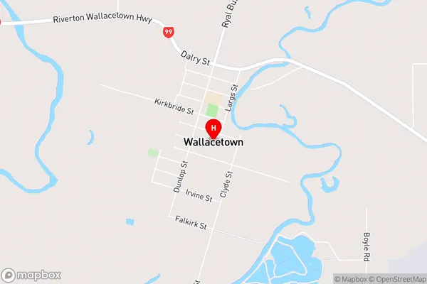
Makarewa WestWallacetown Area Map (Street)
Local Authority
Southland DistrictFull Address
Wallacetown, Southland District, New ZealandAddress Type
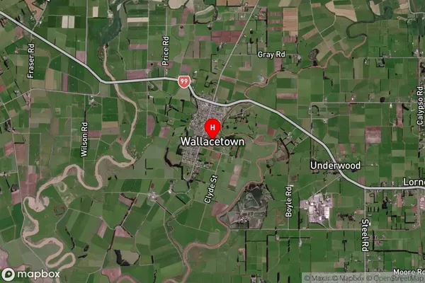
Suburb in Major Locality WallacetownWallacetown Suburb Map (Satellite)
Country
Main Region in AU
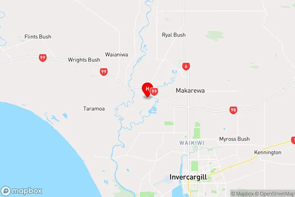
SouthlandWallacetown Region Map
Coordinates
-46.3362824,168.2902926 (latitude/longitude)Distances
The distance from Wallacetown, Wallacetown, Southland District to NZ Top 10 Cities