Waiwhetu Area, Waiwhetu Postcode(5010) & Map in Waiwhetu
Waiwhetu Area, Waiwhetu Postcode(5010) & Map in Waiwhetu, Lower Hutt City, New Zealand
Waiwhetu, Lower Hutt City, New Zealand
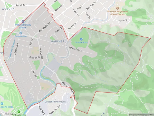
Waiwhetu Postcodes
Waiwhetu Area (estimated)
3.4 square kilometersWaiwhetu Population (estimated)
4702 people live in Waiwhetu, Lower Hutt, NZWaiwhetu Suburb Area Map (Polygon)
Waiwhetu Introduction
Waiwhetu is a suburb of Lower Hutt, Wellington, New Zealand. It is located on the southern shore of the Hutt River and is known for its peaceful atmosphere, scenic views, and historic buildings. The area has a rich cultural heritage, with a strong Maori presence and a variety of cultural institutions. Waiwhetu is also home to a variety of shops, restaurants, and recreational facilities, including the Waiwhetu Golf Club and the Waiwhetu Water Gardens.Region
Major City
Suburb Name
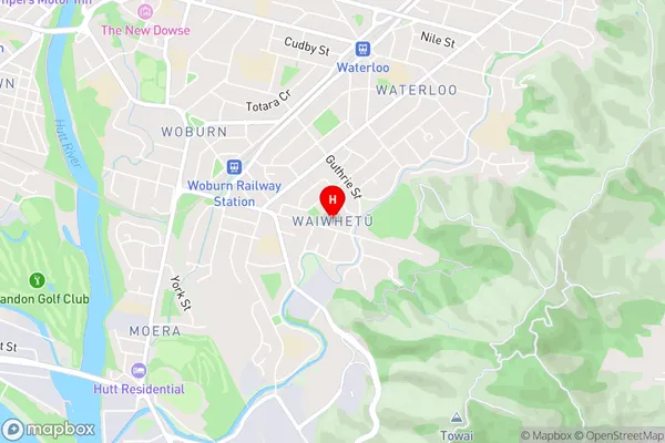
Waiwhetu (Maori Name: Waiwhetū)Waiwhetu Area Map (Street)
Local Authority
Lower Hutt CityFull Address
Waiwhetu, Lower Hutt City, New ZealandAddress Type
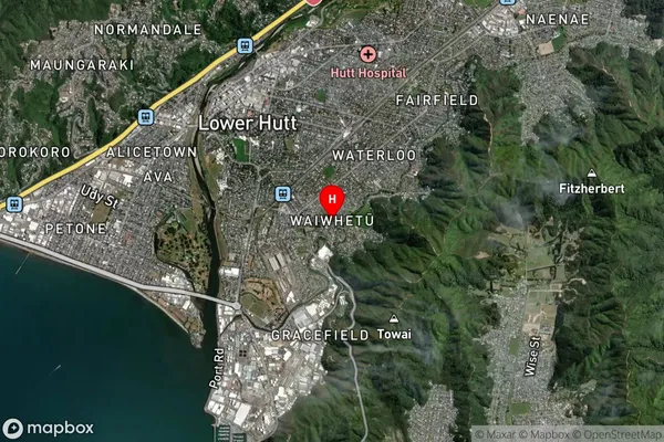
Suburb in City Lower HuttWaiwhetu Suburb Map (Satellite)
Country
Main Region in AU
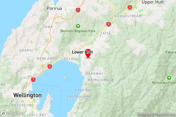
WellingtonWaiwhetu Region Map
Coordinates
-41.2240398,174.9188846 (latitude/longitude)Distances
The distance from Waiwhetu, Lower Hutt, Lower Hutt City to NZ Top 10 Cities