Waituna West Area, Waituna West Postcode(4770) & Map in Waituna West
Waituna West Area, Waituna West Postcode(4770) & Map in Waituna West, Manawatu District, New Zealand
Waituna West, Manawatu District, New Zealand
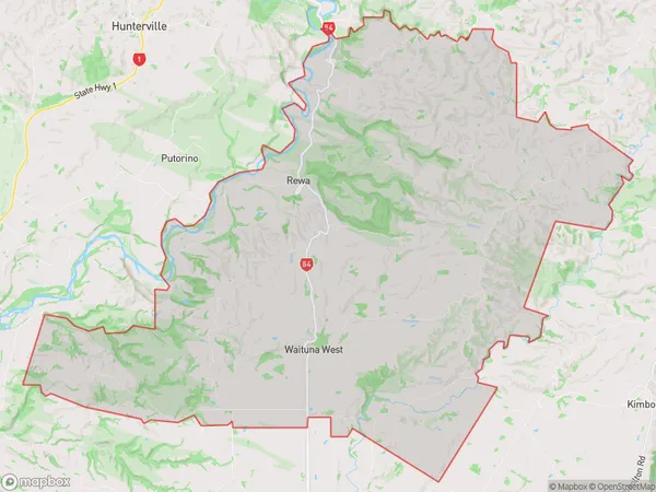
Waituna West Area (estimated)
212.9 square kilometersWaituna West Population (estimated)
351 people live in Waituna West, Manawatu-Wanganui, NZWaituna West Suburb Area Map (Polygon)
Waituna West Introduction
Waituna West is a small rural community located in the Manawatu-Wanganui region of New Zealand. It is situated on the banks of the Waituna River and is known for its scenic countryside and peaceful atmosphere. The community has a primary school, a post office, and a small supermarket. It is a popular destination for outdoor enthusiasts, with many walking and cycling trails nearby.Region
Major City
Suburb Name
Waituna WestOther Name(s)
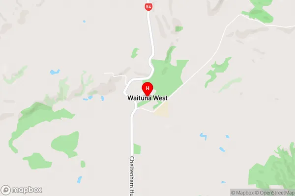
RewaWaituna West Area Map (Street)
Local Authority
Manawatu DistrictFull Address
Waituna West, Manawatu District, New ZealandAddress Type
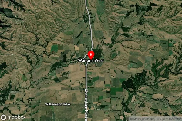
Locality in Town FeildingWaituna West Suburb Map (Satellite)
Country
Main Region in AU
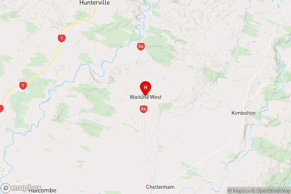
Manawatu-WanganuiWaituna West Region Map
Coordinates
-40.0401431,175.6399047 (latitude/longitude)Distances
The distance from Waituna West, Feilding, Manawatu District to NZ Top 10 Cities